Area Overview for CF48 2TS
Photos of CF48 2TS
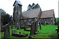
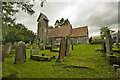

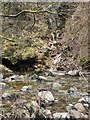
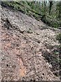
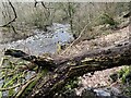
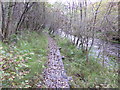
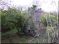
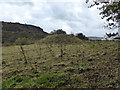
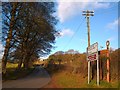
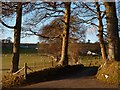
30 photos from this area
Area Information
Key information about the CF48 2TS including its size, population, and administrative classification.
- Area Type
- Postcode
- Area Size
- 68.7 hectares
- Population
- 1462
- Population Density
- 59 people/km²
House Prices in CF48 2TS
16
Properties
£367,333
Average Sold Price
£115,000
Lowest Price
£790,000
Highest Price
Showing 16 properties
| Address | Type | Beds | Baths | Last Sale Price | Last Sale Date | |
|---|---|---|---|---|---|---|
| Glenview, Vaynor Road, Pontsarn, Merthyr Tydfil, CF48 2TS | house | - | - | £790,000 | Aug 2024 | |
| ABERGLAIS INN, VAYNOR ROAD, Pontsarn, Merthyr Tydfil, CF48 2TS | Detached | 2 | - | £197,000 | Apr 2005 | |
| Llansoy, Vaynor Road, Pontsarn, Merthyr Tydfil, CF48 2TS | Detached | 5 | 2 | £115,000 | May 2000 | |
| Pontsarn Hotel, Vaynor Road, Pontsarn, Merthyr Tydfil, CF48 2TS | Cottage | 5 | 3 | - | - | |
| 1, Serendipity, Bragdy Cottages, Vaynor Road, Pontsarn, Merthyr Tydfil, CF48 2TS | house | 3 | 1 | - | - | |
| The Lodge, Hy Brasail, Vaynor Road, Pontsarn, Merthyr Tydfil, CF48 2TS | Detached | - | - | - | - | |
| Glais Lodge, Vaynor Road, Pontsarn, Merthyr Tydfil, CF48 2TS | hotel | - | - | - | - | |
| Glais House, Vaynor Road, Pontsarn, Merthyr Tydfil, CF48 2TS | Detached | - | - | - | - | |
| Penrhiwglais Farm, Vaynor Road, Pontsarn, Merthyr Tydfil, CF48 2TS | Detached | - | - | - | - | |
| Dolcoed, Vaynor Road, Pontsarn, Merthyr Tydfil, CF48 2TS | Detached | - | - | - | - |
Page 1 of 2
Energy Efficiency in CF48 2TS
Amenities
Schools
| Rank | School | Type | Entry gender | Ages |
|---|
Explore more schools in this area
Go to Schools tabDemographics
Household Size
Two person
most common
Accommodation Type
Houses
most common
Tenure
70
majority
Ethnic Group
White
most common
Religion
N/A
most common
Household Composition
N/A
most common
Age
47
median
Adults (30-64 years)
most common
Household Deprivation
N/A
with no deprivation
NS-SEC
25
in Lower managerial occupations
Explore more demographic insights in this area
Go to Demographics tabPlanning
Planning Constraints
- Flood RiskPremium
- Ramsar Wetland SitesPremium
- Area of Outstanding Natural BeautyPremium
- Protected Nature ReservePremium
- Protected WoodlandPremium
- Crime RiskPremium