Area Overview for CF48 1YS
Photos of CF48 1YS


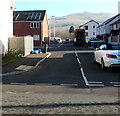
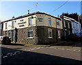
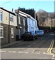
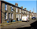
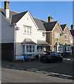
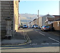
62 photos from this area
Area Information
Key information about the CF48 1YS including its size, population, and administrative classification.
- Area Type
- Postcode
- Area Size
- 1.1 hectares
- Population
- 2097
- Population Density
- 1291 people/km²
House Prices in CF48 1YS
10
Properties
£220,000
Average Sold Price
£120,000
Lowest Price
£410,000
Highest Price
Showing 10 properties
| Address | Type | Beds | Baths | Last Sale Price | Last Sale Date | |
|---|---|---|---|---|---|---|
| Ty Derwen, Graig Road, Abercanaid, Merthyr Tydfil, CF48 1YS | house | - | - | £410,000 | May 2021 | |
| Cilmeri, Pond Row, Abercanaid, Merthyr Tydfil, CF48 1YS | Bungalow | - | - | £130,000 | May 2003 | |
| Ty Ceffyl Bach, Graig Road, Abercanaid, Merthyr Tydfil, CF48 1YS | Detached | - | - | £120,000 | Jan 2002 | |
| Flat At, Ty Ceffyl Bach, Graig Road, Abercanaid, Merthyr Tydfil, CF48 1YS | Flat | - | - | - | - | |
| Nant-y-mynydd, Canal Row, Abercanaid, Merthyr Tydfil, CF48 1YS | Detached | - | - | - | - | |
| Ty Camlas, Pond Row, Abercanaid, Merthyr Tydfil, CF48 1YS | Detached | - | - | - | - | |
| Ty Graig, Pond Row, Abercanaid, Merthyr Tydfil, CF48 1YS | Detached | - | - | - | - | |
| Ivy Cottage, Graig Road, Abercanaid, Merthyr Tydfil, CF48 1YS | Detached | - | - | - | - | |
| 1, Station Houses, Graig Road, Abercanaid, Merthyr Tydfil, CF48 1YS | Semi-detached | - | - | - | - | |
| 2, Station Houses, Graig Road, Abercanaid, Merthyr Tydfil, CF48 1YS | Semi-detached | - | - | - | - |
Energy Efficiency in CF48 1YS
Amenities
Schools
| Rank | School | Type | Entry gender | Ages |
|---|
Explore more schools in this area
Go to Schools tabDemographics
Household Size
Two person
most common
Accommodation Type
Houses
most common
Tenure
72
majority
Ethnic Group
White
most common
Religion
N/A
most common
Household Composition
N/A
most common
Age
47
median
Adults (30-64 years)
most common
Household Deprivation
N/A
with no deprivation
NS-SEC
24
in Lower managerial occupations
Explore more demographic insights in this area
Go to Demographics tabPlanning
Planning Constraints
- Flood RiskPremium
- Ramsar Wetland SitesPremium
- Area of Outstanding Natural BeautyPremium
- Protected Nature ReservePremium
- Protected WoodlandPremium
- Crime RiskPremium