Area Overview for CF46 5HU
Photos of CF46 5HU
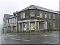
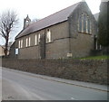
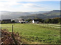
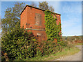
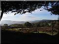
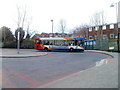
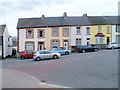
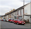
19 photos from this area
Area Information
Key information about the CF46 5HU including its size, population, and administrative classification.
- Area Type
- Postcode
- Area Size
- 25.5 hectares
- Population
- 1622
- Population Density
- 326 people/km²
House Prices in CF46 5HU
53
Properties
£52,051
Average Sold Price
£13,600
Lowest Price
£95,000
Highest Price
Showing 53 properties
| Address | Type | Beds | Baths | Last Sale Price | Last Sale Date | |
|---|---|---|---|---|---|---|
| 86 Cilhaul, Treharris, CF46 5HU | Semi-detached | 3 | 1 | £95,000 | Sep 2020 | |
| 76 Cilhaul, Treharris, CF46 5HU | Semi-detached | 3 | 1 | £74,000 | Dec 2019 | |
| 88 Cilhaul, Treharris, CF46 5HU | Terraced | 3 | 1 | £65,000 | Jun 2018 | |
| 91 Cilhaul, Treharris, CF46 5HU | house | - | - | £73,500 | May 2018 | |
| 53 Cilhaul, Treharris, CF46 5HU | house | - | - | £75,800 | Jan 2011 | |
| 85 Cilhaul, Treharris, CF46 5HU | Terraced | 3 | - | £75,000 | Jun 2007 | |
| 52 Cilhaul, Treharris, CF46 5HU | house | - | - | £80,500 | Jan 2007 | |
| 45 Cilhaul, Treharris, CF46 5HU | Terraced | 3 | - | £78,000 | Sep 2006 | |
| 97 Cilhaul, Treharris, CF46 5HU | house | - | - | £41,500 | Apr 2006 | |
| 55 Cilhaul, Treharris, CF46 5HU | Semi-detached | - | - | £32,000 | Aug 2003 |
Page 1 of 6
Energy Efficiency in CF46 5HU
Amenities
Schools
| Rank | School | Type | Entry gender | Ages |
|---|
Explore more schools in this area
Go to Schools tabDemographics
Household Size
Family (3-5 people)
most common
Accommodation Type
Houses
most common
Tenure
65
majority
Ethnic Group
White
most common
Religion
N/A
most common
Household Composition
N/A
most common
Age
47
median
Adults (30-64 years)
most common
Household Deprivation
N/A
with no deprivation
NS-SEC
20
in Lower managerial occupations
Explore more demographic insights in this area
Go to Demographics tabPlanning
Planning Constraints
- Flood RiskPremium
- Ramsar Wetland SitesPremium
- Area of Outstanding Natural BeautyPremium
- Protected Nature ReservePremium
- Protected WoodlandPremium
- Crime RiskPremium