Area Overview for Bedlinog Community
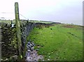
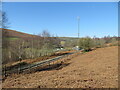
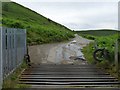
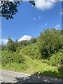
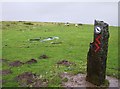
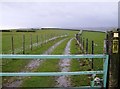
Photos of Bedlinog Community

Area Information
Bedlinog Community stands as a distinctive civil parish nestled in the north-east corner of Merthyr Tydfil County Borough. This small settlement covers an area of 15.3 km² and holds a current population of approximately 1,358. The village is defined by its dramatic geography, with terraced houses often clinging to steep hillsides at unusual angles. While the broader region falls under the Mid Glamorgan historical designation, administrative records place it within Merthyr Tydfil County Borough. The location operates within the CF46 postcode area, situated at precise coordinates of 51.6879, -3.304786. Living in Bedlinog means inhabiting a place shaped by deep industrial history. The area emerged as a significant settlement following the sinking of Bedlinog Colliery in 1874 by the Dowlais Iron Company. The original centre of the village was Cwmfelin, known as the Valley of the Mill, where Salem Chapel was erected in 1830 before the population swelled rapidly in the late 19th and early 20th centuries. Today, the community retains the character of a closely-knit mining village, with four major chapels constructed between 1876 and 1889 standing as notable features alongside the historic colliery site. If you are considering homes in Bedlinog Community, you are entering a neighbourhood where physical expansion meets a resilient social fabric forged during the industrial era.
- Area Type
- Parish
- Area Size
- 15.3 km²
- Population
- Not available
- Population Density
- Not available
Demographics
The community in Bedlinog Community reflects a distinct demographic profile shaped by its history and current housing stock. The median age for residents is 70, indicating a population skewed significantly towards older adults. While the most common age range is listed simply as total, the high median age suggests that the village centre is home to many retired former miners and their families. Approximately 71% of households in the parish are owned outright or are being paid for with a mortgage, highlighting a legacy of long-term settlement. This high rate of home ownership is typical for villages that developed entirely around specific industries during the Victorian and Edwardian eras. Household composition and accommodation types in Bedlinog follow the general patterns for rural Welsh parishes, though specific breakdowns of single-person versus family households are not separately quantified in the available records. The predominant ethnic group and religious affiliations for the total population are recorded but not broken down by sub-groups in this dataset. For anyone looking at homes in Bedlinog Community, the demographic reality is clear: this is a place where people have lived for generations. The social structure remains cohesive, with a strong sense of identity centred on the local chapels and the surrounding hills. The lack of younger demographic data correlates with the high median age, suggesting limited inward migration of young families compared to nearby urban centres like Pontypridd or Treharris.
Household Size
Accommodation Type
Tenure
Ethnic Group
Religion
Household Composition
Age
Household Deprivation
NS-SEC
Explore more demographic insights in this area
Go to Demographics tabPlanning
Planning Constraints
- Flood RiskPremium
- Ramsar Wetland SitesPremium
- Area of Outstanding Natural BeautyPremium
- Protected Nature ReservePremium
- Protected WoodlandPremium
- Crime RiskPremium