Area Overview for LL68 9NY
Photos of LL68 9NY
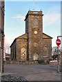
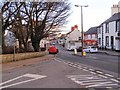
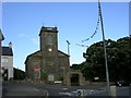
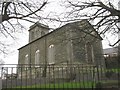
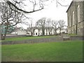
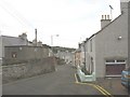
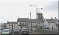
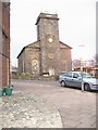
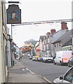
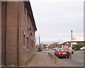
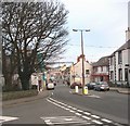
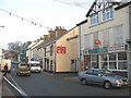
68 photos from this area
Area Information
Key information about the LL68 9NY including its size, population, and administrative classification.
- Area Type
- Postcode
- Area Size
- 39.9 hectares
- Population
- 1255
- Population Density
- 81 people/km²
House Prices in LL68 9NY
5
Properties
£199,500
Average Sold Price
£79,000
Lowest Price
£320,000
Highest Price
Showing 5 properties
| Address | Type | Beds | Baths | Last Sale Price | Last Sale Date | |
|---|---|---|---|---|---|---|
| Bryn Mawr, A 5025 From Junction Of Road Near Twrcelyn Garage To Grogan Roundabout, Amlwch, LL68 9NY | Bungalow | - | - | £320,000 | Apr 2023 | |
| Bodednyfed Fach, A 5025 From Junction Of Road Near Twrcelyn Garage To Grogan Roundabout, Amlwch, LL68 9NY | Detached | - | - | £79,000 | Jul 1995 | |
| Rhos Lan, A 5025 From Junction Of Road Near Twrcelyn Garage To Grogan Roundabout, Amlwch, LL68 9NY | Land | - | - | - | - | |
| Crossways, A 5025 From Junction Of Road Near Twrcelyn Garage To Grogan Roundabout, Amlwch, LL68 9NY | house | - | - | - | - | |
| Ty Newydd, A 5025 From Junction Of Road Near Twrcelyn Garage To Grogan Roundabout, Amlwch, LL68 9NY | Detached | - | - | - | - |
Energy Efficiency in LL68 9NY
Amenities
Schools
| Rank | School | Type | Entry gender | Ages |
|---|
Explore more schools in this area
Go to Schools tabDemographics
Household Size
Two person
most common
Accommodation Type
Houses
most common
Tenure
76
majority
Ethnic Group
White
most common
Religion
N/A
most common
Household Composition
N/A
most common
Age
47
median
Adults (30-64 years)
most common
Household Deprivation
N/A
with no deprivation
NS-SEC
29
in Lower managerial occupations
Explore more demographic insights in this area
Go to Demographics tabPlanning
Planning Constraints
- Flood RiskPremium
- Ramsar Wetland SitesPremium
- Area of Outstanding Natural BeautyPremium
- Protected Nature ReservePremium
- Protected WoodlandPremium
- Crime RiskPremium