Area Overview for LL67 0HB
Photos of LL67 0HB
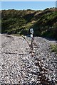
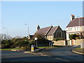
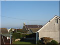
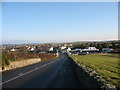
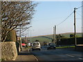
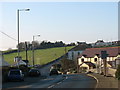
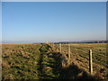
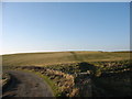
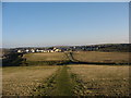


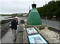
55 photos from this area
Area Information
Key information about the LL67 0HB including its size, population, and administrative classification.
- Area Type
- Postcode
- Area Size
- 3.2 hectares
- Population
- 1177
- Population Density
- 86 people/km²
House Prices in LL67 0HB
6
Properties
£164,250
Average Sold Price
£95,000
Lowest Price
£240,000
Highest Price
Showing 6 properties
| Address | Type | Beds | Baths | Last Sale Price | Last Sale Date | |
|---|---|---|---|---|---|---|
| Bron Wendon, Beach Road, Cemaes, LL67 0HB | Bungalow | 3 | - | £240,000 | Mar 2018 | |
| Vikings, Beach Road, Cemaes, LL67 0HB | Detached | 2 | 1 | £192,000 | Apr 2015 | |
| Aber Mor, Beach Road, Cemaes, LL67 0HB | Detached | - | - | £95,000 | Nov 1999 | |
| Min Y Dwr, Beach Road, Cemaes, LL67 0HB | Detached | - | - | £130,000 | Aug 1999 | |
| Argraig, Beach Road, Cemaes, LL67 0HB | Detached | - | - | - | - | |
| Pen Dibyn, Beach Road, Cemaes, LL67 0HB | Detached | - | - | - | - |
Energy Efficiency in LL67 0HB
Amenities
Schools
| Rank | School | Type | Entry gender | Ages |
|---|
Explore more schools in this area
Go to Schools tabDemographics
Household Size
Two person
most common
Accommodation Type
Houses
most common
Tenure
71
majority
Ethnic Group
White
most common
Religion
N/A
most common
Household Composition
N/A
most common
Age
47
median
Adults (30-64 years)
most common
Household Deprivation
N/A
with no deprivation
NS-SEC
30
in Lower managerial occupations
Explore more demographic insights in this area
Go to Demographics tabPlanning
Planning Constraints
- Flood RiskPremium
- Ramsar Wetland SitesPremium
- Area of Outstanding Natural BeautyPremium
- Protected Nature ReservePremium
- Protected WoodlandPremium
- Crime RiskPremium