Area Overview for LL59 5TA
Photos of LL59 5TA
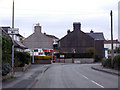
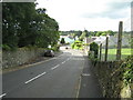
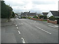
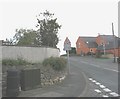
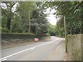
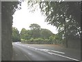
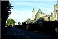
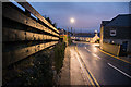
23 photos from this area
Area Information
Key information about the LL59 5TA including its size, population, and administrative classification.
- Area Type
- Postcode
- Area Size
- 1.7 hectares
- Population
- 2181
- Population Density
- 94 people/km²
House Prices in LL59 5TA
8
Properties
£229,000
Average Sold Price
£190,000
Lowest Price
£280,000
Highest Price
Showing 8 properties
| Address | Type | Beds | Baths | Last Sale Price | Last Sale Date | |
|---|---|---|---|---|---|---|
| Coed Melys, 3 Cichle Hill, Llandegfan, Menai Bridge, LL59 5TA | Bungalow | 4 | - | £217,000 | May 2024 | |
| Bro Dawel, Cichle Hill, Llandegfan, Menai Bridge, LL59 5TA | Semi-detached | - | - | £190,000 | Nov 2007 | |
| Preswylfa, Cichle Hill, Llandegfan, Menai Bridge, LL59 5TA | Detached | - | - | £280,000 | Apr 2003 | |
| Fron Siriol, Cichle Hill, Llandegfan, Menai Bridge, LL59 5TA | Cottage | 2 | 1 | - | - | |
| Penmaen, 2 Cichle Hill, Llandegfan, Menai Bridge, LL59 5TA | Detached | 4 | 1 | - | - | |
| Hafan Deg, Cichle Hill, Llandegfan, Menai Bridge, LL59 5TA | Detached | 4 | - | - | - | |
| The White House, Beaumaris Road, Glyn Garth, Menai Bridge, LL59 5TA | house | - | - | - | - | |
| Pont Y Barcud, Cichle Hill, Llandegfan, Menai Bridge, LL59 5TA | house | - | - | - | - |
Energy Efficiency in LL59 5TA
Amenities
Schools
| Rank | School | Type | Entry gender | Ages |
|---|
Explore more schools in this area
Go to Schools tabDemographics
Household Size
Two person
most common
Accommodation Type
Houses
most common
Tenure
84
majority
Ethnic Group
White
most common
Religion
N/A
most common
Household Composition
N/A
most common
Age
47
median
Adults (30-64 years)
most common
Household Deprivation
N/A
with no deprivation
NS-SEC
45
in Lower managerial occupations
Explore more demographic insights in this area
Go to Demographics tabPlanning
Planning Constraints
- Flood RiskPremium
- Ramsar Wetland SitesPremium
- Area of Outstanding Natural BeautyPremium
- Protected Nature ReservePremium
- Protected WoodlandPremium
- Crime RiskPremium