Area Overview for Bryngwran Community
Photos of Bryngwran Community
Area Information
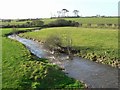
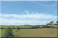
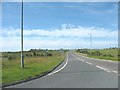
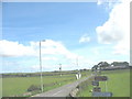
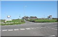
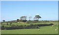
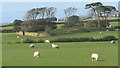
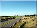
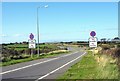
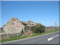
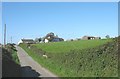
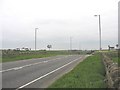
Bryngwran Community is a civil parish located in Wales, covering a defined geographical expanse of 16.9 km². Living in Bryngwran Community means settling into an area where residents have personal familiarity with the local landscape and history. The parish functions as a distinct administrative unit within the wider Welsh context, offering a specific sense of place for those seeking homes in Bryngwran Community. Daily life here is shaped by the boundaries of this parish, which defines the local services and community interactions available to inhabitants. You navigate this space as a resident of a defined zone where the local identity is rooted in its status as a civil parish. The area provides a specific setting where you can experience living in Bryngwran Community without the ambiguity of neighbouring jurisdictions. Your daily routine involves moving through an environment where the 16.9 km² area size determines the proximity of local amenities and the scale of the immediate surroundings. This context is essential for understanding the practicalities of moving to or staying in this specific part of Wales. You gain a clear understanding of your location by recognising that your home is situated within these officially recognised boundaries.
- Area Type
- Parish
- Area Size
- 16.9 km²
- Population
- Not available
- Population Density
- Not available
Demographics
The people of Bryngwran Community reflect a distinctly older population profile compared to national averages. The median age in this parish is 70, indicating that the majority of residents belong to senior age groups. Most common age statistics confirm that the demographic weight sits heavily towards older demographics, shaping the social fabric of the area. Home ownership remains the dominant housing tenure, with 70% of households owning their properties outright or with a mortgage. This high level of ownership suggests stability within the local population and a reduced presence of young buy-to-let investors. While specific data on household composition and family structures is available only as aggregate totals, the high ownership rate points towards empty nesters or retired couples. The accommodation types and predominant ethnic groups in Bryngwran Community are recorded as total figures, reflecting the broader census breakdowns for this region. You will encounter a community where long-term residents have likely lived in their homes for decades. This demographic reality influences local services and community events in Bryngwran Community, catering primarily to the needs of an older population.
Household Size
Accommodation Type
Tenure
Ethnic Group
Religion
Household Composition
Age
Household Deprivation
NS-SEC
Explore more demographic insights in this area
Go to Demographics tabPlanning
Planning Constraints
- Flood RiskPremium
- Ramsar Wetland SitesPremium
- Area of Outstanding Natural BeautyPremium
- Protected Nature ReservePremium
- Protected WoodlandPremium
- Crime RiskPremium