Area Overview for SY20 9SX
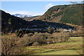
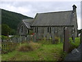
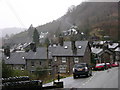
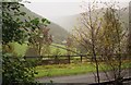
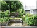
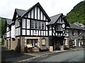
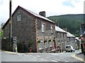
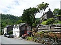
Photos of SY20 9SX

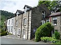
![Y Rhyfel [The War] 1939 -1945, Corris in SY20 9SX](https://images.propbar.co.uk/images/geograph/45/86/4586662_120.jpg)
91 photos from this area
Area Information
Key information about the SY20 9SX including its size, population, and administrative classification.
- Area Type
- Postcode
- Area Size
- 1031 m²
- Population
- 1254
- Population Density
- 8 people/km²
House Prices in SY20 9SX
4
Properties
£193,333
Average Sold Price
£181,000
Lowest Price
£213,000
Highest Price
Showing 4 properties
| Address | Type | Beds | Baths | Last Sale Price | Last Sale Date | |
|---|---|---|---|---|---|---|
| 1, Arddol Terrace, Minffordd Street, Corris, SY20 9SX | Terraced | 2 | 1 | £181,000 | May 2024 | |
| 2, Arddol Terrace, Minffordd Street, Corris, SY20 9SX | Terraced | 3 | 1 | £186,000 | Jan 2024 | |
| 3, Arddol Terrace, Minffordd Street, Corris, SY20 9SX | house | - | - | £213,000 | Feb 2022 | |
| 4, Arddol House, Arddol Terrace, Minffordd Street, Corris, SY20 9SX | house | - | - | - | - |
Energy Efficiency in SY20 9SX
Amenities
Schools
| Rank | School | Type | Entry gender | Ages |
|---|
Explore more schools in this area
Go to Schools tabDemographics
Household Size
Two person
most common
Accommodation Type
Houses
most common
Tenure
75
majority
Ethnic Group
White
most common
Religion
N/A
most common
Household Composition
N/A
most common
Age
47
median
Adults (30-64 years)
most common
Household Deprivation
N/A
with no deprivation
NS-SEC
33
in Lower managerial occupations
Explore more demographic insights in this area
Go to Demographics tabPlanning
Planning Constraints
- Flood RiskPremium
- Ramsar Wetland SitesPremium
- Area of Outstanding Natural BeautyPremium
- Protected Nature ReservePremium
- Protected WoodlandPremium
- Crime RiskPremium