Area Overview for LL55 4SP
Photos of LL55 4SP
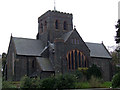
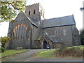
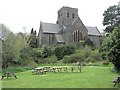
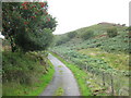
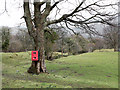
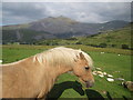
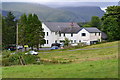
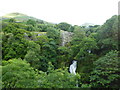
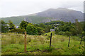
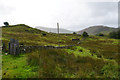
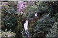
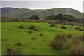
74 photos from this area
Area Information
Key information about the LL55 4SP including its size, population, and administrative classification.
- Area Type
- Postcode
- Area Size
- 8.0 hectares
- Population
- 2009
- Population Density
- 44 people/km²
House Prices in LL55 4SP
20
Properties
£112,950
Average Sold Price
£17,000
Lowest Price
£199,000
Highest Price
Showing 20 properties
| Address | Type | Beds | Baths | Last Sale Price | Last Sale Date | |
|---|---|---|---|---|---|---|
| 11 Stryd Ceunant, Llanberis, LL55 4SP | Terraced | 2 | 1 | £199,000 | Oct 2022 | |
| 14 Stryd Ceunant, Llanberis, LL55 4SP | house | - | - | £187,050 | Nov 2021 | |
| MERDDYN COCH, STRYD CEUNANT, Llanberis, LL55 4SP | Detached | - | - | £120,000 | Oct 2020 | |
| 8 Stryd Ceunant, Llanberis, LL55 4SP | Terraced | 3 | 1 | £165,000 | Sep 2019 | |
| 7 Stryd Ceunant, Llanberis, LL55 4SP | house | - | - | £135,000 | Dec 2017 | |
| 4 Stryd Ceunant, Llanberis, LL55 4SP | house | - | - | £85,000 | Dec 2016 | |
| 18 Stryd Ceunant, Llanberis, LL55 4SP | house | - | - | £150,000 | Nov 2016 | |
| 12 Stryd Ceunant, Llanberis, LL55 4SP | house | - | - | £115,000 | Jun 2016 | |
| 9 Stryd Ceunant, Llanberis, LL55 4SP | house | - | - | £123,000 | Mar 2016 | |
| 16 Stryd Ceunant, Llanberis, LL55 4SP | Terraced | 4 | - | £140,000 | Jul 2015 |
Page 1 of 2
Energy Efficiency in LL55 4SP
Amenities
Schools
| Rank | School | Type | Entry gender | Ages |
|---|
Explore more schools in this area
Go to Schools tabDemographics
Household Size
One person
most common
Accommodation Type
Houses
most common
Tenure
67
majority
Ethnic Group
White
most common
Religion
N/A
most common
Household Composition
N/A
most common
Age
47
median
Adults (30-64 years)
most common
Household Deprivation
N/A
with no deprivation
NS-SEC
33
in Lower managerial occupations
Explore more demographic insights in this area
Go to Demographics tabPlanning
Planning Constraints
- Flood RiskPremium
- Ramsar Wetland SitesPremium
- Area of Outstanding Natural BeautyPremium
- Protected Nature ReservePremium
- Protected WoodlandPremium
- Crime RiskPremium