Area Overview for LL55 2AG
Photos of LL55 2AG
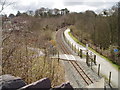
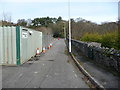
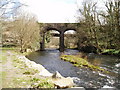
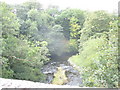
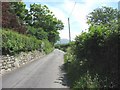
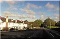
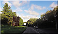
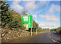
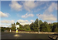
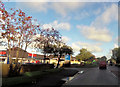
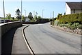
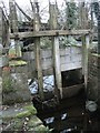
62 photos from this area
Area Information
Key information about the LL55 2AG including its size, population, and administrative classification.
- Area Type
- Postcode
- Area Size
- 7784 m²
- Population
- 1597
- Population Density
- 3090 people/km²
House Prices in LL55 2AG
26
Properties
£123,035
Average Sold Price
£42,900
Lowest Price
£177,000
Highest Price
Showing 26 properties
| Address | Type | Beds | Baths | Last Sale Price | Last Sale Date | |
|---|---|---|---|---|---|---|
| 17 Cwm Silyn, Caernarfon, LL55 2AG | Semi-detached | 3 | 1 | £177,000 | Aug 2018 | |
| 21 Cwm Silyn, Caernarfon, LL55 2AG | Detached | 3 | - | £166,000 | Jul 2016 | |
| 2 Cwm Silyn, Caernarfon, LL55 2AG | Semi-detached | 3 | - | £156,000 | Oct 2014 | |
| 11 Cwm Silyn, Caernarfon, LL55 2AG | Terraced | - | - | £149,950 | Apr 2008 | |
| 13 Cwm Silyn, Caernarfon, LL55 2AG | house | - | - | £160,000 | Dec 2006 | |
| 25 Cwm Silyn, Caernarfon, LL55 2AG | Detached | - | - | £165,000 | Apr 2006 | |
| 10 Cwm Silyn, Caernarfon, LL55 2AG | Semi-detached | - | - | £100,000 | Aug 2003 | |
| 16 Cwm Silyn, Caernarfon, LL55 2AG | Semi-detached | - | - | £59,500 | Jun 2001 | |
| 24 Cwm Silyn, Caernarfon, LL55 2AG | Semi-detached | - | - | £54,000 | Feb 1999 | |
| 18 Cwm Silyn, Caernarfon, LL55 2AG | house | - | - | £42,900 | Jan 1996 |
Page 1 of 3
Energy Efficiency in LL55 2AG
Amenities
Schools
| Rank | School | Type | Entry gender | Ages |
|---|
Explore more schools in this area
Go to Schools tabDemographics
Household Size
Family (3-5 people)
most common
Accommodation Type
Houses
most common
Tenure
73
majority
Ethnic Group
White
most common
Religion
N/A
most common
Household Composition
N/A
most common
Age
47
median
Adults (30-64 years)
most common
Household Deprivation
N/A
with no deprivation
NS-SEC
27
in Lower managerial occupations
Explore more demographic insights in this area
Go to Demographics tabPlanning
Planning Constraints
- Flood RiskPremium
- Ramsar Wetland SitesPremium
- Area of Outstanding Natural BeautyPremium
- Protected Nature ReservePremium
- Protected WoodlandPremium
- Crime RiskPremium