Area Overview for LL52 0PE
Photos of LL52 0PE
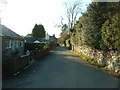
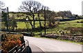
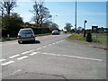
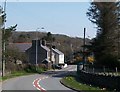

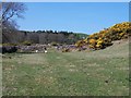
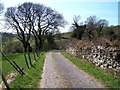
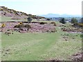
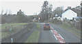
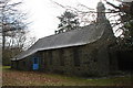
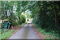
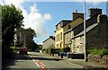
66 photos from this area
Area Information
Key information about the LL52 0PE including its size, population, and administrative classification.
- Area Type
- Postcode
- Area Size
- 11.6 hectares
- Population
- 1173
- Population Density
- 14 people/km²
House Prices in LL52 0PE
57
Properties
£144,322
Average Sold Price
£43,000
Lowest Price
£210,000
Highest Price
Showing 57 properties
| Address | Type | Beds | Baths | Last Sale Price | Last Sale Date | |
|---|---|---|---|---|---|---|
| 25 Bryn Tyddyn, Pentrefelin, LL52 0PE | Bungalow | - | - | £190,000 | Oct 2024 | |
| 35 Bryn Tyddyn, Pentrefelin, LL52 0PE | Bungalow | 2 | 1 | £180,000 | Jul 2024 | |
| Llwyn Onn, 14 Bryn Tyddyn, Pentrefelin, LL52 0PE | Semi-detached | 2 | 1 | £185,000 | May 2024 | |
| Tryfan, 20 Bryn Tyddyn, Pentrefelin, LL52 0PE | Semi-detached | 2 | 1 | £187,000 | Sep 2023 | |
| 13 Bryn Tyddyn, Pentrefelin, LL52 0PE | Bungalow | - | - | £210,000 | Sep 2023 | |
| 6 Bryn Tyddyn, Pentrefelin, LL52 0PE | Semi-detached | 2 | 1 | £185,000 | Jul 2023 | |
| 41 Bryn Tyddyn, Pentrefelin, LL52 0PE | Bungalow | - | - | £180,000 | Feb 2023 | |
| Tyddyn Gwyn, 38 Bryn Tyddyn, Pentrefelin, LL52 0PE | Bungalow | - | - | £182,000 | Oct 2021 | |
| 18 Bryn Tyddyn, Pentrefelin, LL52 0PE | Bungalow | - | - | £167,500 | Aug 2020 | |
| 49 Bryn Tyddyn, Pentrefelin, LL52 0PE | Bungalow | - | - | £150,000 | Jul 2020 |
Page 1 of 6
Energy Efficiency in LL52 0PE
Amenities
Schools
| Rank | School | Type | Entry gender | Ages |
|---|
Explore more schools in this area
Go to Schools tabDemographics
Household Size
Two person
most common
Accommodation Type
Houses
most common
Tenure
74
majority
Ethnic Group
White
most common
Religion
N/A
most common
Household Composition
N/A
most common
Age
47
median
Adults (30-64 years)
most common
Household Deprivation
N/A
with no deprivation
NS-SEC
31
in Lower managerial occupations
Explore more demographic insights in this area
Go to Demographics tabPlanning
Planning Constraints
- Flood RiskPremium
- Ramsar Wetland SitesPremium
- Area of Outstanding Natural BeautyPremium
- Protected Nature ReservePremium
- Protected WoodlandPremium
- Crime RiskPremium