Area Overview for LL44 2EP
Photos of LL44 2EP

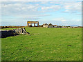
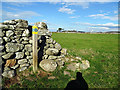

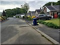
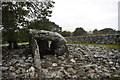
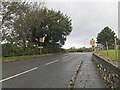
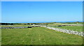
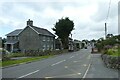
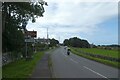
39 photos from this area
Area Information
Key information about the LL44 2EP including its size, population, and administrative classification.
- Area Type
- Postcode
- Area Size
- 23.1 hectares
- Population
- 2380
- Population Density
- 21 people/km²
House Prices in LL44 2EP
33
Properties
£222,268
Average Sold Price
£54,000
Lowest Price
£525,000
Highest Price
Showing 33 properties
| Address | Type | Beds | Baths | Last Sale Price | Last Sale Date | |
|---|---|---|---|---|---|---|
| Lodge, Tan Y Fron, High Street, Dyffryn Ardudwy, LL44 2EP | Detached | 6 | 3 | £475,000 | Nov 2024 | |
| Gerllan, High Street, Dyffryn Ardudwy, LL44 2EP | house | - | - | £400,000 | Oct 2023 | |
| Morannedd, High Street, Dyffryn Ardudwy, LL44 2EP | house | 6 | - | £525,000 | Apr 2021 | |
| Y Nyth, High Street, Dyffryn Ardudwy, LL44 2EP | Bungalow | 2 | 1 | £169,000 | Jul 2015 | |
| Pedair Derwen, High Street, Dyffryn Ardudwy, LL44 2EP | Bungalow | 2 | 1 | £185,000 | Oct 2014 | |
| TYN FFYNNON, HIGH STREET, Dyffryn Ardudwy, LL44 2EP | Detached | 4 | - | £177,500 | Dec 2013 | |
| Tyn Y Bryn, High Street, Dyffryn Ardudwy, LL44 2EP | Terraced | - | - | £177,500 | Dec 2013 | |
| Awel Y Môr, High Street, Dyffryn Ardudwy, LL44 2EP | Bungalow | - | - | £99,950 | Feb 2011 | |
| Bryn Melyn, High Street, Dyffryn Ardudwy, LL44 2EP | Detached | - | - | £99,000 | Nov 2003 | |
| Cromlech, High Street, Dyffryn Ardudwy, LL44 2EP | Detached | 5 | 2 | £54,000 | Sep 1997 |
Page 1 of 4
Energy Efficiency in LL44 2EP
Amenities
Schools
| Rank | School | Type | Entry gender | Ages |
|---|
Explore more schools in this area
Go to Schools tabDemographics
Household Size
Two person
most common
Accommodation Type
Houses
most common
Tenure
77
majority
Ethnic Group
White
most common
Religion
N/A
most common
Household Composition
N/A
most common
Age
47
median
Adults (30-64 years)
most common
Household Deprivation
N/A
with no deprivation
NS-SEC
28
in Lower managerial occupations
Explore more demographic insights in this area
Go to Demographics tabPlanning
Planning Constraints
- Flood RiskPremium
- Ramsar Wetland SitesPremium
- Area of Outstanding Natural BeautyPremium
- Protected Nature ReservePremium
- Protected WoodlandPremium
- Crime RiskPremium