Area Overview for LL44 2BL
Photos of LL44 2BL
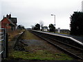
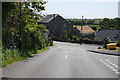
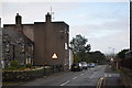
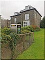
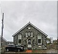
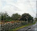
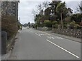
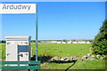
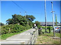
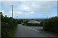
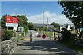
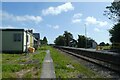
54 photos from this area
Area Information
Key information about the LL44 2BL including its size, population, and administrative classification.
- Area Type
- Postcode
- Area Size
- 4.5 hectares
- Population
- 2380
- Population Density
- 21 people/km²
House Prices in LL44 2BL
23
Properties
£199,588
Average Sold Price
£45,500
Lowest Price
£428,000
Highest Price
Showing 23 properties
| Address | Type | Beds | Baths | Last Sale Price | Last Sale Date | |
|---|---|---|---|---|---|---|
| Mwaiseni, Ffordd Y Llan, Dyffryn Ardudwy, LL44 2BL | Bungalow | - | - | £235,000 | Jun 2022 | |
| 2, Tŷ Ni, Ffordd Y Llan, Dyffryn Ardudwy, LL44 2BL | Land | 4 | 2 | £428,000 | Dec 2021 | |
| Hendre Wyddil, Ffordd Y Llan, Dyffryn Ardudwy, LL44 2BL | house | - | - | £360,000 | Nov 2021 | |
| Pant Yr Wylan, Ffordd Y Llan, Dyffryn Ardudwy, LL44 2BL | Bungalow | - | - | £245,000 | Jul 2018 | |
| Tŷ Lafant, Ffordd Y Llan, Dyffryn Ardudwy, LL44 2BL | Bungalow | - | - | £270,000 | Sep 2017 | |
| Fach Wyddil, Ffordd Y Llan, Dyffryn Ardudwy, LL44 2BL | house | - | - | £240,000 | Mar 2016 | |
| TREDEGAR, FFORDD Y LLAN, Dyffryn Ardudwy, LL44 2BL | Detached | 3 | - | £245,000 | Jan 2016 | |
| Y Waun, Ffordd Y Llan, Dyffryn Ardudwy, LL44 2BL | Bungalow | - | - | £255,000 | Jan 2016 | |
| Bryn Mawr, Ffordd Y Llan, Dyffryn Ardudwy, LL44 2BL | Bungalow | 3 | - | £199,450 | Nov 2013 | |
| Plas Heulwen, Ffordd Y Llan, Dyffryn Ardudwy, LL44 2BL | Detached | 3 | - | £179,950 | Aug 2012 |
Page 1 of 3
Energy Efficiency in LL44 2BL
Amenities
Schools
| Rank | School | Type | Entry gender | Ages |
|---|
Explore more schools in this area
Go to Schools tabDemographics
Household Size
Two person
most common
Accommodation Type
Houses
most common
Tenure
77
majority
Ethnic Group
White
most common
Religion
N/A
most common
Household Composition
N/A
most common
Age
47
median
Adults (30-64 years)
most common
Household Deprivation
N/A
with no deprivation
NS-SEC
28
in Lower managerial occupations
Explore more demographic insights in this area
Go to Demographics tabPlanning
Planning Constraints
- Flood RiskPremium
- Ramsar Wetland SitesPremium
- Area of Outstanding Natural BeautyPremium
- Protected Nature ReservePremium
- Protected WoodlandPremium
- Crime RiskPremium