Area Overview for LL42 1EF
Photos of LL42 1EF
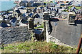
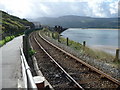
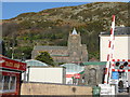
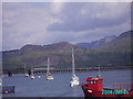
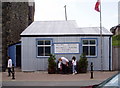
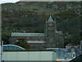
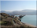
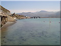
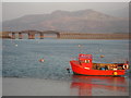
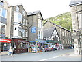
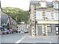
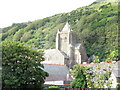
100 photos from this area
Area Information
Key information about the LL42 1EF including its size, population, and administrative classification.
- Area Type
- Postcode
- Area Size
- 1.4 hectares
- Population
- 2146
- Population Density
- 133 people/km²
House Prices in LL42 1EF
8
Properties
£230,000
Average Sold Price
£220,000
Lowest Price
£240,000
Highest Price
Showing 8 properties
| Address | Type | Beds | Baths | Last Sale Price | Last Sale Date | |
|---|---|---|---|---|---|---|
| 1, Min Y Don, Jubilee Road, Barmouth, LL42 1EF | Flat | - | - | £220,000 | Jul 2017 | |
| Annedd Wen, Jubilee Road, Barmouth, LL42 1EF | house | - | - | £240,000 | Sep 2012 | |
| Dragon Theatre, Jubilee Road, Barmouth, LL42 1EF | assembly_leisure | - | - | - | - | |
| The Stables, Llew Bermo, Jubilee Road, Barmouth, LL42 1EF | house | - | - | - | - | |
| Polling Station, Dragon Theatre, Jubilee Road, Barmouth, LL42 1EF | commercial | - | - | - | - | |
| Tyn Y Coed Works, Jubilee Road, Barmouth, LL42 1EF | office_workshop | - | - | - | - | |
| Weavers Croft, Jubilee Road, Barmouth, LL42 1EF | Terraced | - | - | - | - | |
| Llew Bermo, Jubilee Road, Barmouth, LL42 1EF | Detached | - | - | - | - |
Energy Efficiency in LL42 1EF
Amenities
Schools
| Rank | School | Type | Entry gender | Ages |
|---|
Explore more schools in this area
Go to Schools tabDemographics
Household Size
One person
most common
Accommodation Type
Houses
most common
Tenure
57
majority
Ethnic Group
White
most common
Religion
N/A
most common
Household Composition
N/A
most common
Age
47
median
Adults (30-64 years)
most common
Household Deprivation
N/A
with no deprivation
NS-SEC
24
in Lower managerial occupations
Explore more demographic insights in this area
Go to Demographics tabPlanning
Planning Constraints
- Flood RiskPremium
- Ramsar Wetland SitesPremium
- Area of Outstanding Natural BeautyPremium
- Protected Nature ReservePremium
- Protected WoodlandPremium
- Crime RiskPremium