Area Overview for Porthmadog Community
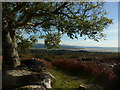
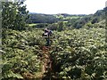
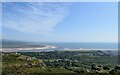
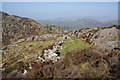
Photos of Porthmadog Community
Area Information
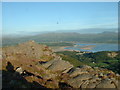
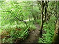
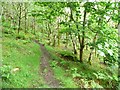
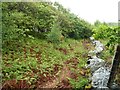
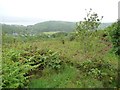
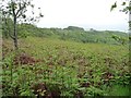
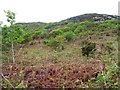
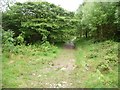
Porthmadog Community stands as a distinct civil parish covering 19.0 km² within Wales. This parish offers a specific locale for those seeking rural living in the country. The area is defined by its geographical boundaries and a long-established character rather than rapid development. You will find an environment where daily life moves at a pace dictated by the landscape and its surroundings. The size of the parish suggests a manageable community where the sense of place remains intact. Residents navigate a space that balances secluded countryside with the administrative structure of a civil parish. Living in Porthmadog Community means accepting a setting where nature plays a central role in everyday activity. The parish status provides a clear legal and historical identity that separates it from larger urban zones. You can expect a location where the physical limits of 19 square kilometres dictate the scope of local amenities and transport links. This is not a generic location but a defined administrative area with its own specific geographical footprint. The community thrives on this defined space, offering a traditional Welsh parish experience without the density of major towns.
- Area Type
- Parish
- Area Size
- 19.0 km²
- Population
- Not available
- Population Density
- Not available
Demographics
The demographic profile of Porthmadog Community reveals a community with a significant older population. The median age sits at 70 years, which is exceptionally high compared to national averages. You are likely to encounter residents who have lived in the area for decades, contributing to a stable but shifting age structure. The household composition reflects this older demographic, suggesting many homes support single occupants or empty nesters. Home ownership stands at 69 per cent, indicating that the vast majority of residents have purchased their properties rather than renting. This high ownership rate aligns with the older age profile, as people often buy homes later in their working lives when they settle down. Accommodation types within the parish generally suit this demographic, favouring detached or spacious properties over high-density flats. Diversity metrics do not detail specific ethnic breakdowns in the available records, but the high ownership rate points toward a community rooted in long-term residency. You live in an area where families and individuals have deep ties to the land. The age profile means you will see a quieter street scene with fewer children playing out at any given moment.
Household Size
Accommodation Type
Tenure
Ethnic Group
Religion
Household Composition
Age
Household Deprivation
NS-SEC
Explore more demographic insights in this area
Go to Demographics tabPlanning
Planning Constraints
- Flood RiskPremium
- Ramsar Wetland SitesPremium
- Area of Outstanding Natural BeautyPremium
- Protected Nature ReservePremium
- Protected WoodlandPremium
- Crime RiskPremium