Area Overview for Penyffordd Community
Photos of Penyffordd Community

Area Information
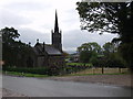
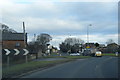
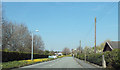
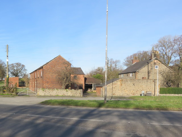
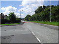
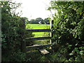
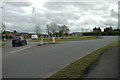
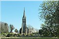
Penyffordd sits as a civil parish in Flintshire, Wales, covering an area of 8.7 square kilometres. The village was created at the highest point of a major road, a name that reflects its strategic location south-east of Buckley and west of Chester. You will find the settlement forms part of an electoral ward that also includes Penymynydd. This combined ward held a population of 3,874 at the 2011 census. The land here evolved significantly with the industrial revolution, shifting from a route through the countryside to a developing village. A Roman road crosses the area near Lower Mountain Road, while Wats Dyke passes close to the train station, marking a historical border between England and Wales. The Pen-y-ffordd by-pass opened in 1986, representing a second major road change in 150 years after the original Chester Road was supplemented by a turnpike in Hawarden. Closely linked to Penymynydd through ribbon development, the location has finished its transition into a permanent residential community. You are standing on ground where a hidden aircraft factory once produced Wellington Bombers and Airbus wings during the Second World War. Today, the village retains historical landmarks such as Plas Teg and St John's Church while functioning as a recognised electoral district.
- Area Type
- Parish
- Area Size
- 8.7 km²
- Population
- Not available
- Population Density
- Not available
Demographics
The community profile shows a distinct settlement of older residents. The median age for people living in Penyffordd is 70 years old. This demographic concentration defines the social rhythm of the village compared to other areas. Home ownership stands at 86 per cent of all households within the parish. This figure indicates that the vast majority of residents who live here own their properties outright or via mortgage. The household composition data is recorded as total, reflecting the aggregate of family units and single-person economies found within the area. Accommodation type information is similarly recorded as total, showing the mix of dwellings across the parish boundaries. There is no recorded data for the predominant ethnic group within the current dataset. Religious affiliation figures are also not broken down in the available record for this specific parish. The age range data lists 'Age: Total' as the primary descriptor, confirming the dominance of the senior population. You do not find a mixture of young families or students typical of university towns when you examine the census breakdowns. The high ownership rate and mature age profile suggest a quiet, established neighbourhood where long-term residents dominate.
Household Size
Accommodation Type
Tenure
Ethnic Group
Religion
Household Composition
Age
Household Deprivation
NS-SEC
Explore more demographic insights in this area
Go to Demographics tabPlanning
Planning Constraints
- Flood RiskPremium
- Ramsar Wetland SitesPremium
- Area of Outstanding Natural BeautyPremium
- Protected Nature ReservePremium
- Protected WoodlandPremium
- Crime RiskPremium