Area Overview for LL19 7AL
Photos of LL19 7AL
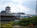
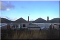

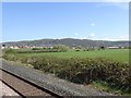
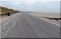
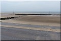

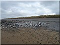
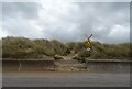
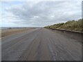

23 photos from this area
Area Information
Key information about the LL19 7AL including its size, population, and administrative classification.
- Area Type
- Postcode
- Area Size
- 7741 m²
- Population
- 1641
- Population Density
- 2134 people/km²
House Prices in LL19 7AL
12
Properties
£161,545
Average Sold Price
£43,000
Lowest Price
£262,500
Highest Price
Showing 12 properties
| Address | Type | Beds | Baths | Last Sale Price | Last Sale Date | |
|---|---|---|---|---|---|---|
| 108 Victoria Road West, Prestatyn, LL19 7AL | Bungalow | 3 | 1 | £262,500 | Mar 2025 | |
| 92 Victoria Road West, Prestatyn, LL19 7AL | Bungalow | - | - | £220,000 | Jun 2022 | |
| 106 Victoria Road West, Prestatyn, LL19 7AL | Semi-detached | 3 | 1 | £165,000 | Oct 2020 | |
| 110 Victoria Road West, Prestatyn, LL19 7AL | Bungalow | 3 | - | £222,000 | Oct 2017 | |
| 96 Victoria Road West, Prestatyn, LL19 7AL | Bungalow | - | - | £177,500 | Aug 2017 | |
| 102 Victoria Road West, Prestatyn, LL19 7AL | Bungalow | - | - | £135,000 | May 2010 | |
| 94 Victoria Road West, Prestatyn, LL19 7AL | Bungalow | 3 | - | £159,950 | Sep 2004 | |
| 112 Victoria Road West, Prestatyn, LL19 7AL | Bungalow | 3 | - | £165,000 | Aug 2004 | |
| 104 Victoria Road West, Prestatyn, LL19 7AL | Bungalow | 3 | 1 | £65,500 | Nov 1999 | |
| 100 Victoria Road West, Prestatyn, LL19 7AL | Detached | - | - | £43,000 | Jul 1997 |
Page 1 of 2
Energy Efficiency in LL19 7AL
Amenities
Schools
| Rank | School | Type | Entry gender | Ages |
|---|
Explore more schools in this area
Go to Schools tabDemographics
Household Size
Two person
most common
Accommodation Type
Houses
most common
Tenure
81
majority
Ethnic Group
White
most common
Religion
N/A
most common
Household Composition
N/A
most common
Age
47
median
Elderly (65+ years)
most common
Household Deprivation
N/A
with no deprivation
NS-SEC
24
in Lower managerial occupations
Explore more demographic insights in this area
Go to Demographics tabPlanning
Planning Constraints
- Flood RiskPremium
- Ramsar Wetland SitesPremium
- Area of Outstanding Natural BeautyPremium
- Protected Nature ReservePremium
- Protected WoodlandPremium
- Crime RiskPremium