Area Overview for LL18 4AL
Photos of LL18 4AL
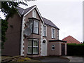
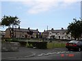
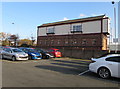
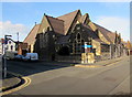
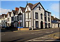
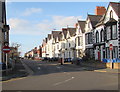
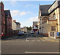
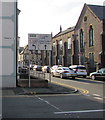
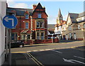
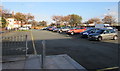
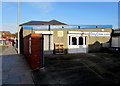

68 photos from this area
Area Information
Key information about the LL18 4AL including its size, population, and administrative classification.
- Area Type
- Postcode
- Area Size
- 5307 m²
- Population
- 1332
- Population Density
- 3803 people/km²
House Prices in LL18 4AL
18
Properties
£144,268
Average Sold Price
£95,000
Lowest Price
£220,000
Highest Price
Showing 18 properties
| Address | Type | Beds | Baths | Last Sale Price | Last Sale Date | |
|---|---|---|---|---|---|---|
| 51 Clifton Park Road, Rhyl, LL18 4AL | Semi-detached | 3 | 1 | £165,000 | May 2025 | |
| 35 Clifton Park Road, Rhyl, LL18 4AL | house | 3 | - | £170,000 | Feb 2022 | |
| 39 Clifton Park Road, Rhyl, LL18 4AL | house | - | - | £168,220 | Jan 2022 | |
| 59 Clifton Park Road, Rhyl, LL18 4AL | house | - | - | £168,000 | Sep 2021 | |
| 43 Clifton Park Road, Rhyl, LL18 4AL | Semi-detached | 3 | 2 | £220,000 | Apr 2021 | |
| 49 Clifton Park Road, Rhyl, LL18 4AL | Semi-detached | 3 | 1 | £130,000 | Dec 2019 | |
| 41 Clifton Park Road, Rhyl, LL18 4AL | Semi-detached | 3 | 1 | £134,000 | Nov 2017 | |
| 67 Clifton Park Road, Rhyl, LL18 4AL | Semi-detached | 4 | 2 | £132,000 | May 2017 | |
| 47 Clifton Park Road, Rhyl, LL18 4AL | house | - | - | £114,000 | May 2011 | |
| 61 Clifton Park Road, Rhyl, LL18 4AL | Semi-detached | - | - | £95,000 | Oct 2008 |
Page 1 of 2
Energy Efficiency in LL18 4AL
Amenities
Schools
| Rank | School | Type | Entry gender | Ages |
|---|
Explore more schools in this area
Go to Schools tabDemographics
Household Size
One person
most common
Accommodation Type
Houses
most common
Tenure
68
majority
Ethnic Group
White
most common
Religion
N/A
most common
Household Composition
N/A
most common
Age
47
median
Adults (30-64 years)
most common
Household Deprivation
N/A
with no deprivation
NS-SEC
25
in Lower managerial occupations
Explore more demographic insights in this area
Go to Demographics tabPlanning
Planning Constraints
- Flood RiskPremium
- Ramsar Wetland SitesPremium
- Area of Outstanding Natural BeautyPremium
- Protected Nature ReservePremium
- Protected WoodlandPremium
- Crime RiskPremium