Area Overview for LL18 3EU
Photos of LL18 3EU
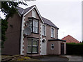
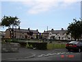
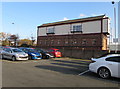
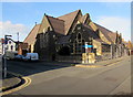
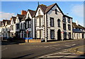
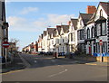
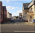
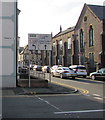
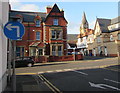
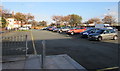
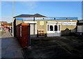

68 photos from this area
Area Information
Key information about the LL18 3EU including its size, population, and administrative classification.
- Area Type
- Postcode
- Area Size
- 1.3 hectares
- Population
- 1627
- Population Density
- 3120 people/km²
House Prices in LL18 3EU
54
Properties
£107,032
Average Sold Price
£19,000
Lowest Price
£225,000
Highest Price
Showing 54 properties
| Address | Type | Beds | Baths | Last Sale Price | Last Sale Date | |
|---|---|---|---|---|---|---|
| 14 Beechwood Road, Rhyl, LL18 3EU | Terraced | 7 | 3 | £145,000 | Jun 2025 | |
| 10 Beechwood Road, Rhyl, LL18 3EU | Flat | - | - | £225,000 | Dec 2023 | |
| 16 Beechwood Road, Rhyl, LL18 3EU | Unknown | - | - | £187,000 | Apr 2023 | |
| Eccleston, 11 Beechwood Road, Rhyl, LL18 3EU | house | - | - | £90,000 | Nov 2016 | |
| 20 Beechwood Road, Rhyl, LL18 3EU | house | 11 | - | £180,000 | Nov 2015 | |
| 12 Beechwood Road, Rhyl, LL18 3EU | Terraced | 6 | - | £130,000 | Sep 2013 | |
| 15 Beechwood Road, Rhyl, LL18 3EU | house | 4 | - | £92,500 | Sep 2011 | |
| 3 Beechwood Road, Rhyl, LL18 3EU | Unknown | 1 | - | £150,000 | Dec 2007 | |
| 13 Beechwood Road, Rhyl, LL18 3EU | Semi-detached | - | - | £88,000 | Oct 2002 | |
| 7 Beechwood Road, Rhyl, LL18 3EU | Terraced | - | - | £69,950 | Apr 2002 |
Page 1 of 6
Energy Efficiency in LL18 3EU
Amenities
Schools
| Rank | School | Type | Entry gender | Ages |
|---|
Explore more schools in this area
Go to Schools tabDemographics
Household Size
One person
most common
Accommodation Type
Flats
most common
Tenure
48
majority
Ethnic Group
White
most common
Religion
N/A
most common
Household Composition
N/A
most common
Age
47
median
Elderly (65+ years)
most common
Household Deprivation
N/A
with no deprivation
NS-SEC
20
in Lower managerial occupations
Explore more demographic insights in this area
Go to Demographics tabPlanning
Planning Constraints
- Flood RiskPremium
- Ramsar Wetland SitesPremium
- Area of Outstanding Natural BeautyPremium
- Protected Nature ReservePremium
- Protected WoodlandPremium
- Crime RiskPremium