Area Overview for LL18 2DN
Photos of LL18 2DN
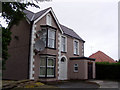
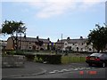
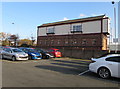
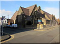
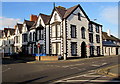
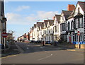
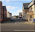
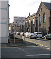
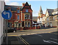
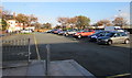
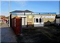

68 photos from this area
Area Information
Key information about the LL18 2DN including its size, population, and administrative classification.
- Area Type
- Postcode
- Area Size
- 3712 m²
- Population
- 1997
- Population Density
- 3918 people/km²
House Prices in LL18 2DN
25
Properties
£76,344
Average Sold Price
£33,500
Lowest Price
£103,500
Highest Price
Showing 25 properties
| Address | Type | Beds | Baths | Last Sale Price | Last Sale Date | |
|---|---|---|---|---|---|---|
| 16 Ernest Street, Rhyl, LL18 2DN | Terraced | 3 | 1 | £100,000 | Jun 2023 | |
| 4 Ernest Street, Rhyl, LL18 2DN | house | - | - | £91,000 | Jun 2022 | |
| 22 Ernest Street, Rhyl, LL18 2DN | Terraced | 2 | 1 | £90,000 | Aug 2021 | |
| 14 Ernest Street, Rhyl, LL18 2DN | house | 2 | - | £71,000 | Jan 2017 | |
| 40 Ernest Street, Rhyl, LL18 2DN | house | - | - | £80,000 | Aug 2014 | |
| 48 Ernest Street, Rhyl, LL18 2DN | house | - | - | £89,500 | Sep 2009 | |
| 46 Ernest Street, Rhyl, LL18 2DN | house | - | - | £70,000 | Oct 2007 | |
| 38 Ernest Street, Rhyl, LL18 2DN | Terraced | - | - | £93,000 | Jul 2007 | |
| 2 Ernest Street, Rhyl, LL18 2DN | Semi-detached | 3 | 1 | £88,500 | May 2007 | |
| 32 Ernest Street, Rhyl, LL18 2DN | house | - | - | £98,000 | May 2007 |
Page 1 of 3
Energy Efficiency in LL18 2DN
Amenities
Schools
| Rank | School | Type | Entry gender | Ages |
|---|
Explore more schools in this area
Go to Schools tabDemographics
Household Size
Family (3-5 people)
most common
Accommodation Type
Houses
most common
Tenure
36
majority
Ethnic Group
White
most common
Religion
N/A
most common
Household Composition
N/A
most common
Age
47
median
Adults (30-64 years)
most common
Household Deprivation
N/A
with no deprivation
NS-SEC
13
in Lower managerial occupations
Explore more demographic insights in this area
Go to Demographics tabPlanning
Planning Constraints
- Flood RiskPremium
- Ramsar Wetland SitesPremium
- Area of Outstanding Natural BeautyPremium
- Protected Nature ReservePremium
- Protected WoodlandPremium
- Crime RiskPremium