Area Overview for LL18 1PW
Photos of LL18 1PW
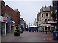
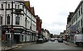
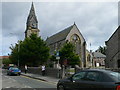
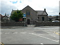
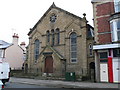

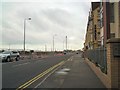
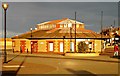

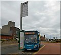

100 photos from this area
Area Information
Key information about the LL18 1PW including its size, population, and administrative classification.
- Area Type
- Postcode
- Area Size
- 5121 m²
- Population
- 1720
- Population Density
- 5223 people/km²
House Prices in LL18 1PW
74
Properties
£124,961
Average Sold Price
£52,000
Lowest Price
£230,000
Highest Price
Showing 74 properties
| Address | Type | Beds | Baths | Last Sale Price | Last Sale Date | |
|---|---|---|---|---|---|---|
| 26 John Street, Rhyl, LL18 1PW | Terraced | 7 | 2 | £140,000 | Jan 2023 | |
| 42 John Street, Rhyl, LL18 1PW | Terraced | 8 | 2 | £154,110 | Dec 2022 | |
| 8 John Street, Rhyl, LL18 1PW | Terraced | 6 | - | £88,000 | Sep 2020 | |
| 12 John Street, Rhyl, LL18 1PW | house | 4 | - | £74,000 | May 2014 | |
| 32 John Street, Rhyl, LL18 1PW | Unknown | - | - | £230,000 | Jun 2008 | |
| 14 John Street, Rhyl, LL18 1PW | Terraced | 5 | 2 | £189,000 | Jul 2007 | |
| 20 John Street, Rhyl, LL18 1PW | Maisonette | - | - | £97,500 | Feb 2007 | |
| 2 John Street, Rhyl, LL18 1PW | house | 1 | 1 | £125,000 | Jan 2007 | |
| 38 John Street, Rhyl, LL18 1PW | house | - | - | £100,000 | Jul 2004 | |
| 18 John Street, Rhyl, LL18 1PW | Maisonette | - | - | £52,000 | Jan 2003 |
Page 1 of 8
Energy Efficiency in LL18 1PW
Amenities
Schools
| Rank | School | Type | Entry gender | Ages |
|---|
Explore more schools in this area
Go to Schools tabDemographics
Household Size
One person
most common
Accommodation Type
Flats
most common
Tenure
25
majority
Ethnic Group
White
most common
Religion
N/A
most common
Household Composition
N/A
most common
Age
47
median
Adults (30-64 years)
most common
Household Deprivation
N/A
with no deprivation
NS-SEC
13
in Lower managerial occupations
Explore more demographic insights in this area
Go to Demographics tabPlanning
Planning Constraints
- Flood RiskPremium
- Ramsar Wetland SitesPremium
- Area of Outstanding Natural BeautyPremium
- Protected Nature ReservePremium
- Protected WoodlandPremium
- Crime RiskPremium