Area Overview for LL18 1LA
Photos of LL18 1LA
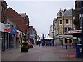
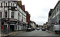
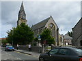
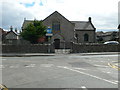
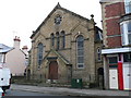
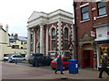
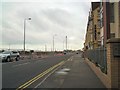
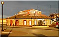
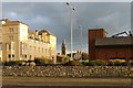
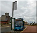
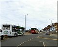
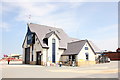
100 photos from this area
Area Information
Key information about the LL18 1LA including its size, population, and administrative classification.
- Area Type
- Postcode
- Area Size
- 6275 m²
- Population
- 1720
- Population Density
- 5223 people/km²
House Prices in LL18 1LA
38
Properties
£82,750
Average Sold Price
£54,000
Lowest Price
£165,000
Highest Price
Showing 38 properties
| Address | Type | Beds | Baths | Last Sale Price | Last Sale Date | |
|---|---|---|---|---|---|---|
| 78 Wellington Road, Rhyl, LL18 1LA | Unknown | - | - | £60,000 | Dec 2024 | |
| 68 Wellington Road, Rhyl, LL18 1LA | Terraced | 5 | 2 | £87,000 | Jan 2024 | |
| 90 Wellington Road, Rhyl, LL18 1LA | Terraced | 2 | 1 | £86,000 | Aug 2023 | |
| 64 Wellington Road, Rhyl, LL18 1LA | Unknown | 2 | - | £165,000 | Jul 2022 | |
| 84 Wellington Road, Rhyl, LL18 1LA | Cottage | 2 | - | £54,000 | Nov 2017 | |
| 86 Wellington Road, Rhyl, LL18 1LA | house | 2 | - | £55,000 | Aug 2015 | |
| 72 Wellington Road, Rhyl, LL18 1LA | Unknown | 1 | 1 | £86,000 | Jan 2005 | |
| 62 Wellington Road, Rhyl, LL18 1LA | Unknown | - | - | £69,000 | Apr 2003 | |
| Flat 3, 64 Wellington Road, Rhyl, LL18 1LA | Flat | 1 | 1 | - | - | |
| 70 Wellington Road, Rhyl, LL18 1LA | Unknown | - | - | - | - |
Page 1 of 4
Energy Efficiency in LL18 1LA
Amenities
Schools
| Rank | School | Type | Entry gender | Ages |
|---|
Explore more schools in this area
Go to Schools tabDemographics
Household Size
One person
most common
Accommodation Type
Flats
most common
Tenure
25
majority
Ethnic Group
White
most common
Religion
N/A
most common
Household Composition
N/A
most common
Age
47
median
Adults (30-64 years)
most common
Household Deprivation
N/A
with no deprivation
NS-SEC
13
in Lower managerial occupations
Explore more demographic insights in this area
Go to Demographics tabPlanning
Planning Constraints
- Flood RiskPremium
- Ramsar Wetland SitesPremium
- Area of Outstanding Natural BeautyPremium
- Protected Nature ReservePremium
- Protected WoodlandPremium
- Crime RiskPremium