Area Overview for LL16 5ST
Photos of LL16 5ST
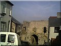

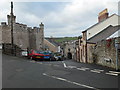
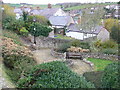
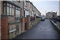
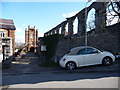
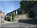
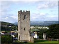
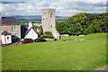
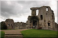
100 photos from this area
Area Information
Key information about the LL16 5ST including its size, population, and administrative classification.
- Area Type
- Postcode
- Area Size
- 64.7 hectares
- Population
- 1704
- Population Density
- 98 people/km²
House Prices in LL16 5ST
19
Properties
£260,167
Average Sold Price
£85,000
Lowest Price
£462,500
Highest Price
Showing 19 properties
| Address | Type | Beds | Baths | Last Sale Price | Last Sale Date | |
|---|---|---|---|---|---|---|
| 7, Pennant Farm, Llys To Castle Junction, Denbigh, LL16 5ST | Terraced | 4 | 2 | £420,000 | Mar 2021 | |
| 10, Pennant Farm, Llys To Castle Junction, Denbigh, LL16 5ST | Semi-detached | 5 | 1 | £462,500 | Oct 2019 | |
| 11, Pennant Farm, Llys To Castle Junction, Denbigh, LL16 5ST | house | - | - | £165,000 | Jan 2018 | |
| 4, Pennant Farm, Llys To Castle Junction, Denbigh, LL16 5ST | Terraced | 4 | 3 | £289,000 | Nov 2016 | |
| 5, Pennant Farm, Llys To Castle Junction, Denbigh, LL16 5ST | Cottage | 4 | - | £325,000 | Aug 2014 | |
| 6, Pennant Farm, Llys To Castle Junction, Denbigh, LL16 5ST | Terraced | 4 | - | £325,000 | Dec 2013 | |
| 8, Pennant Farm, Llys To Castle Junction, Denbigh, LL16 5ST | house | - | - | £120,000 | Apr 2010 | |
| 9, Pennant Farm, Llys To Castle Junction, Denbigh, LL16 5ST | Bungalow | - | - | £150,000 | Mar 2010 | |
| The Lodge, Llys To Castle Junction, Denbigh, LL16 5ST | Detached | 5 | 1 | £85,000 | Jan 2000 | |
| 3, Pennant Farm, Llys To Castle Junction, Denbigh, LL16 5ST | Semi-detached | 3 | 2 | - | - |
Page 1 of 2
Energy Efficiency in LL16 5ST
Amenities
Schools
| Rank | School | Type | Entry gender | Ages |
|---|
Explore more schools in this area
Go to Schools tabDemographics
Household Size
Family (3-5 people)
most common
Accommodation Type
Houses
most common
Tenure
62
majority
Ethnic Group
White
most common
Religion
N/A
most common
Household Composition
N/A
most common
Age
47
median
Adults (30-64 years)
most common
Household Deprivation
N/A
with no deprivation
NS-SEC
28
in Lower managerial occupations
Explore more demographic insights in this area
Go to Demographics tabPlanning
Planning Constraints
- Flood RiskPremium
- Ramsar Wetland SitesPremium
- Area of Outstanding Natural BeautyPremium
- Protected Nature ReservePremium
- Protected WoodlandPremium
- Crime RiskPremium