Area Overview for LL16 3AU
Photos of LL16 3AU
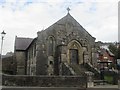
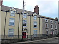
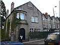
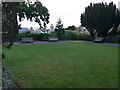
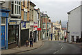
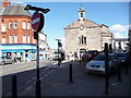
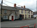
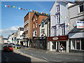
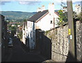
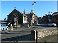
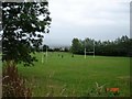
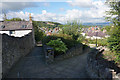
100 photos from this area
Area Information
Key information about the LL16 3AU including its size, population, and administrative classification.
- Area Type
- Postcode
- Area Size
- 1.3 hectares
- Population
- 1914
- Population Density
- 1792 people/km²
House Prices in LL16 3AU
17
Properties
£126,722
Average Sold Price
£41,000
Lowest Price
£280,000
Highest Price
Showing 17 properties
| Address | Type | Beds | Baths | Last Sale Price | Last Sale Date | |
|---|---|---|---|---|---|---|
| 85 Vale Street, Denbigh, LL16 3AU | house | - | - | £131,000 | Jun 2021 | |
| Celyn, 75 Vale Street, Denbigh, LL16 3AU | Terraced | 4 | 2 | £280,000 | Jun 2021 | |
| 91A Vale Street, Denbigh, LL16 3AU | Semi-detached | 2 | 1 | £118,000 | Nov 2019 | |
| 71 Vale Street, Denbigh, LL16 3AU | Terraced | 3 | 2 | £128,000 | Aug 2019 | |
| Tanymarian, 79 Vale Street, Denbigh, LL16 3AU | house | - | - | £133,000 | Dec 2015 | |
| 87 Vale Street, Denbigh, LL16 3AU | house | - | - | £87,500 | Oct 2013 | |
| 73 Vale Street, Denbigh, LL16 3AU | house | - | - | £116,000 | Mar 2012 | |
| Llangar, 77 Vale Street, Denbigh, LL16 3AU | Terraced | - | - | £106,000 | Aug 2005 | |
| 81 Vale Street, Denbigh, LL16 3AU | Terraced | - | - | £41,000 | Aug 1997 | |
| 2, Beech Mews, 71 Vale Street, Denbigh, LL16 3AU | Semi-detached | 3 | 1 | - | - |
Page 1 of 2
Energy Efficiency in LL16 3AU
Amenities
Schools
| Rank | School | Type | Entry gender | Ages |
|---|
Explore more schools in this area
Go to Schools tabDemographics
Household Size
One person
most common
Accommodation Type
Houses
most common
Tenure
59
majority
Ethnic Group
White
most common
Religion
N/A
most common
Household Composition
N/A
most common
Age
47
median
Adults (30-64 years)
most common
Household Deprivation
N/A
with no deprivation
NS-SEC
30
in Lower managerial occupations
Explore more demographic insights in this area
Go to Demographics tabPlanning
Planning Constraints
- Flood RiskPremium
- Ramsar Wetland SitesPremium
- Area of Outstanding Natural BeautyPremium
- Protected Nature ReservePremium
- Protected WoodlandPremium
- Crime RiskPremium