Area Overview for LL15 1YQ
Photos of LL15 1YQ
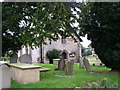
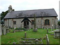
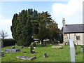
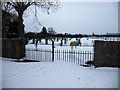
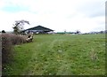
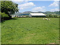
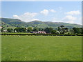
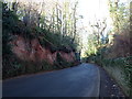
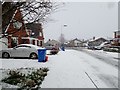
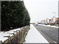
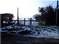
43 photos from this area
Area Information
Key information about the LL15 1YQ including its size, population, and administrative classification.
- Area Type
- Postcode
- Area Size
- 4.0 hectares
- Population
- 1603
- Population Density
- 635 people/km²
House Prices in LL15 1YQ
63
Properties
£140,439
Average Sold Price
£37,250
Lowest Price
£285,000
Highest Price
Showing 63 properties
| Address | Type | Beds | Baths | Last Sale Price | Last Sale Date | |
|---|---|---|---|---|---|---|
| 51 Bro Deg, Ruthin, LL15 1YQ | Detached | 3 | 1 | £187,000 | Dec 2025 | |
| 2 Bro Deg, Ruthin, LL15 1YQ | Semi-detached | 3 | 1 | £200,000 | Aug 2025 | |
| 44 Bro Deg, Ruthin, LL15 1YQ | Semi-detached | 3 | 1 | £190,000 | May 2025 | |
| 59 Bro Deg, Ruthin, LL15 1YQ | Semi-detached | 3 | 1 | £210,000 | May 2024 | |
| 10 Bro Deg, Ruthin, LL15 1YQ | Semi-detached | 3 | 1 | £205,000 | Dec 2023 | |
| 1 Bro Deg, Ruthin, LL15 1YQ | Bungalow | 3 | 1 | £285,000 | Dec 2022 | |
| 43 Bro Deg, Ruthin, LL15 1YQ | house | 4 | - | £215,000 | Jan 2022 | |
| 56 Bro Deg, Ruthin, LL15 1YQ | house | - | - | £162,000 | Jan 2022 | |
| 19 Bro Deg, Ruthin, LL15 1YQ | Semi-detached | 3 | 1 | £175,000 | Dec 2021 | |
| 14 Bro Deg, Ruthin, LL15 1YQ | house | 3 | - | £169,000 | Jun 2021 |
Page 1 of 7
Energy Efficiency in LL15 1YQ
Amenities
Schools
| Rank | School | Type | Entry gender | Ages |
|---|
Explore more schools in this area
Go to Schools tabDemographics
Household Size
Two person
most common
Accommodation Type
Houses
most common
Tenure
88
majority
Ethnic Group
White
most common
Religion
N/A
most common
Household Composition
N/A
most common
Age
47
median
Adults (30-64 years)
most common
Household Deprivation
N/A
with no deprivation
NS-SEC
43
in Lower managerial occupations
Explore more demographic insights in this area
Go to Demographics tabPlanning
Planning Constraints
- Flood RiskPremium
- Ramsar Wetland SitesPremium
- Area of Outstanding Natural BeautyPremium
- Protected Nature ReservePremium
- Protected WoodlandPremium
- Crime RiskPremium