Area Overview for LL15 1YE
Photos of LL15 1YE
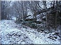
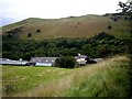
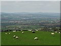
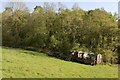
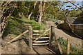
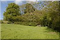
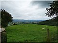
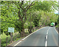
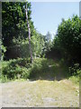
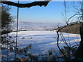
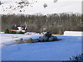
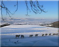
16 photos from this area
Area Information
Key information about the LL15 1YE including its size, population, and administrative classification.
- Area Type
- Postcode
- Area Size
- 1.1 km²
- Population
- 1462
- Population Density
- 52 people/km²
House Prices in LL15 1YE
9
Properties
£377,500
Average Sold Price
£345,000
Lowest Price
£410,000
Highest Price
Showing 9 properties
| Address | Type | Beds | Baths | Last Sale Price | Last Sale Date | |
|---|---|---|---|---|---|---|
| Rhesgoed Isa Cottage, A 494 Ruthin Road, Llanbedr Dyffryn Clwyd, Ruthin, LL15 1YE | house | 4 | 4 | £410,000 | Aug 2019 | |
| Wernog, A 494 Ruthin Road, Llanbedr Dyffryn Clwyd, Ruthin, LL15 1YE | house | - | - | £345,000 | Sep 2017 | |
| Rhesgoed Farm, A 494 Ruthin Road, Llanbedr Dyffryn Clwyd, Ruthin, LL15 1YE | Detached | 4 | 1 | - | - | |
| Castell Gyrn, A 494 Ruthin Road, Llanbedr Dyffryn Clwyd, Ruthin, LL15 1YE | Detached | 6 | 7 | - | - | |
| Castell Gyrn Lodge, A 494 Ruthin Road, Llanbedr Dyffryn Clwyd, Ruthin, LL15 1YE | Detached | - | - | - | - | |
| Hillside, A 494 Ruthin Road, Llanbedr Dyffryn Clwyd, Ruthin, LL15 1YE | Detached | - | - | - | - | |
| Rhiwisg, A 494 Ruthin Road, Llanbedr Dyffryn Clwyd, Ruthin, LL15 1YE | Detached | - | - | - | - | |
| The Old Granary, Rhesgoed Farm, A 494 Ruthin Road, Llanbedr Dyffryn Clwyd, Ruthin, LL15 1YE | hotel | - | - | - | - | |
| Vale View, Rhesgoed Farm, A 494 Ruthin Road, Llanbedr Dyffryn Clwyd, Ruthin, LL15 1YE | hotel | - | - | - | - |
Energy Efficiency in LL15 1YE
Amenities
Schools
| Rank | School | Type | Entry gender | Ages |
|---|
Explore more schools in this area
Go to Schools tabDemographics
Household Size
Two person
most common
Accommodation Type
Houses
most common
Tenure
74
majority
Ethnic Group
White
most common
Religion
N/A
most common
Household Composition
N/A
most common
Age
47
median
Adults (30-64 years)
most common
Household Deprivation
N/A
with no deprivation
NS-SEC
45
in Lower managerial occupations
Explore more demographic insights in this area
Go to Demographics tabPlanning
Planning Constraints
- Flood RiskPremium
- Ramsar Wetland SitesPremium
- Area of Outstanding Natural BeautyPremium
- Protected Nature ReservePremium
- Protected WoodlandPremium
- Crime RiskPremium