Area Overview for LL11 3AW
Photos of LL11 3AW
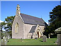
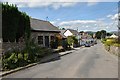
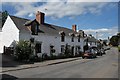
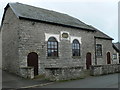
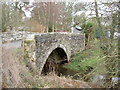
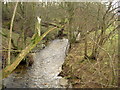
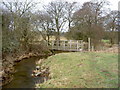
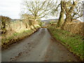
64 photos from this area
Area Information
Key information about the LL11 3AW including its size, population, and administrative classification.
- Area Type
- Postcode
- Area Size
- 83.8 hectares
- Population
- 2432
- Population Density
- 29 people/km²
House Prices in LL11 3AW
28
Properties
£238,143
Average Sold Price
£54,808
Lowest Price
£850,000
Highest Price
Showing 28 properties
| Address | Type | Beds | Baths | Last Sale Price | Last Sale Date | |
|---|---|---|---|---|---|---|
| Plas Tynno, Rhos Cottage To Llandegla Road, Llandegla, Wrexham, LL11 3AW | Detached | 3 | 2 | £850,000 | Aug 2023 | |
| Bryn Dwr, Rhos Cottage To Llandegla Road, Llandegla, Wrexham, LL11 3AW | house | - | - | £375,000 | Sep 2022 | |
| The Old Rectory, Bodidris Estate Road From A 5104 To Llandegla Village, Llandegla, Wrexham, LL11 3AW | Retail | 5 | 2 | £575,000 | Aug 2022 | |
| School House, Rhos Cottage To Llandegla Road, Llandegla, Wrexham, LL11 3AW | Semi-detached | - | - | £153,000 | Dec 2020 | |
| Old Post Office, Allt Yr Efail, Llandegla, Wrexham, LL11 3AW | Detached | - | - | £152,000 | Oct 2016 | |
| Erw Las, Allt Yr Efail, Llandegla, Wrexham, LL11 3AW | Bungalow | - | - | £152,500 | May 2015 | |
| Chybean, Allt Yr Efail, Llandegla, Wrexham, LL11 3AW | Detached | - | - | £156,750 | Apr 2012 | |
| Cefn Y Grug, Allt Yr Efail, Llandegla, Wrexham, LL11 3AW | Detached | 4 | - | £232,995 | Mar 2012 | |
| 4 Trem Yr Eglwys, Llandegla, Wrexham, LL11 3AW | house | 3 | - | £155,000 | Sep 2010 | |
| Bro Tegla, Allt Yr Efail, Llandegla, Wrexham, LL11 3AW | Detached | - | - | £124,950 | Jul 2007 |
Page 1 of 3
Energy Efficiency in LL11 3AW
Amenities
Schools
| Rank | School | Type | Entry gender | Ages |
|---|
Explore more schools in this area
Go to Schools tabDemographics
Household Size
Two person
most common
Accommodation Type
Houses
most common
Tenure
83
majority
Ethnic Group
White
most common
Religion
N/A
most common
Household Composition
N/A
most common
Age
47
median
Adults (30-64 years)
most common
Household Deprivation
N/A
with no deprivation
NS-SEC
42
in Lower managerial occupations
Explore more demographic insights in this area
Go to Demographics tabPlanning
Planning Constraints
- Flood RiskPremium
- Ramsar Wetland SitesPremium
- Area of Outstanding Natural BeautyPremium
- Protected Nature ReservePremium
- Protected WoodlandPremium
- Crime RiskPremium