Area Overview for LL32 8HZ
Photos of LL32 8HZ
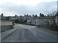
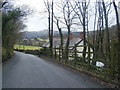
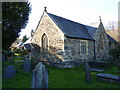
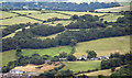
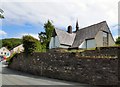
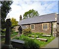
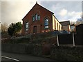
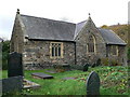
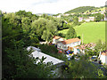
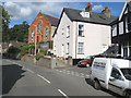
28 photos from this area
Area Information
Key information about the LL32 8HZ including its size, population, and administrative classification.
- Area Type
- Postcode
- Area Size
- 40.8 hectares
- Population
- 1680
- Population Density
- 984 people/km²
House Prices in LL32 8HZ
19
Properties
£425,357
Average Sold Price
£197,500
Lowest Price
£700,000
Highest Price
Showing 19 properties
| Address | Type | Beds | Baths | Last Sale Price | Last Sale Date | |
|---|---|---|---|---|---|---|
| Bryn Glorian, Llanrwst Road, Conwy, LL32 8HZ | house | - | - | £700,000 | Jul 2022 | |
| Cae Cregin, Llanrwst Road, Conwy, LL32 8HZ | Detached | 4 | - | £530,000 | Mar 2018 | |
| Bryn Derwen, Llanrwst Road, Conwy, LL32 8HZ | Detached | 4 | - | £405,000 | Jul 2016 | |
| Brookfield House, Llanrwst Road, Conwy, LL32 8HZ | Lodge | 2 | 2 | £300,000 | Mar 2016 | |
| Bryn Y Coed, Llanrwst Road, Conwy, LL32 8HZ | Bungalow | 4 | 3 | £480,000 | Nov 2006 | |
| Pen Y Bryn Farm, Llanrwst Road, Conwy, LL32 8HZ | Detached | - | - | £365,000 | Dec 2003 | |
| Bryn Hyfryd, Llanrwst Road, Conwy, LL32 8HZ | Detached | - | - | £197,500 | May 1999 | |
| Bwlch Mawr, Conwy Holiday Park, Llanrwst Road, Conwy, LL32 8HZ | Lodge | 3 | 2 | - | - | |
| 1, Plas Glorian, Llanrwst Road, Conwy, LL32 8HZ | Lodge | 2 | 1 | - | - | |
| The Coach House, Plas Glorian, Llanrwst Road, Conwy, LL32 8HZ | Cottage | 2 | 2 | - | - |
Page 1 of 2
Energy Efficiency in LL32 8HZ
Amenities
Schools
| Rank | School | Type | Entry gender | Ages |
|---|
Explore more schools in this area
Go to Schools tabDemographics
Household Size
Two person
most common
Accommodation Type
Houses
most common
Tenure
73
majority
Ethnic Group
White
most common
Religion
N/A
most common
Household Composition
N/A
most common
Age
47
median
Adults (30-64 years)
most common
Household Deprivation
N/A
with no deprivation
NS-SEC
35
in Lower managerial occupations
Explore more demographic insights in this area
Go to Demographics tabPlanning
Planning Constraints
- Flood RiskPremium
- Ramsar Wetland SitesPremium
- Area of Outstanding Natural BeautyPremium
- Protected Nature ReservePremium
- Protected WoodlandPremium
- Crime RiskPremium