Area Overview for LL31 9YR
Photos of LL31 9YR
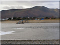
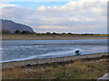
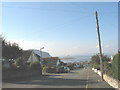
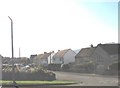
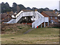
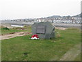
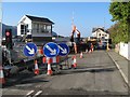
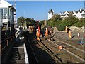
100 photos from this area
Area Information
Key information about the LL31 9YR including its size, population, and administrative classification.
- Area Type
- Postcode
- Area Size
- 3.8 hectares
- Population
- 1991
- Population Density
- 1165 people/km²
House Prices in LL31 9YR
43
Properties
£148,768
Average Sold Price
£33,500
Lowest Price
£245,000
Highest Price
Showing 43 properties
| Address | Type | Beds | Baths | Last Sale Price | Last Sale Date | |
|---|---|---|---|---|---|---|
| 38 Deganwy Beach, Deganwy, LL31 9YR | house | - | - | £215,000 | Oct 2024 | |
| 22 Deganwy Beach, Deganwy, LL31 9YR | Maisonette | 3 | 1 | £245,000 | Feb 2023 | |
| 52 Deganwy Beach, Deganwy, LL31 9YR | Maisonette | - | - | £220,000 | Feb 2023 | |
| 9 Deganwy Beach, Deganwy, LL31 9YR | Flat | 3 | 1 | £210,000 | Apr 2022 | |
| 11 Deganwy Beach, Deganwy, LL31 9YR | Maisonette | 2 | 1 | £235,000 | Aug 2021 | |
| 32 Deganwy Beach, Deganwy, LL31 9YR | Flat | - | - | £210,000 | Apr 2019 | |
| 41 Deganwy Beach, Deganwy, LL31 9YR | Maisonette | - | - | £135,000 | Sep 2018 | |
| 15 Deganwy Beach, Deganwy, LL31 9YR | Maisonette | - | - | £172,000 | Aug 2017 | |
| 19 Deganwy Beach, Deganwy, Conwy, LL31 9YR | Flat | 2 | 1 | £132,500 | Jun 2017 | |
| 28 Deganwy Beach, Deganwy, LL31 9YR | Flat | 2 | - | £155,000 | Dec 2015 |
Page 1 of 5
Energy Efficiency in LL31 9YR
Amenities
Schools
| Rank | School | Type | Entry gender | Ages |
|---|
Explore more schools in this area
Go to Schools tabDemographics
Household Size
Two person
most common
Accommodation Type
Houses
most common
Tenure
90
majority
Ethnic Group
White
most common
Religion
N/A
most common
Household Composition
N/A
most common
Age
47
median
Elderly (65+ years)
most common
Household Deprivation
N/A
with no deprivation
NS-SEC
41
in Lower managerial occupations
Explore more demographic insights in this area
Go to Demographics tabPlanning
Planning Constraints
- Flood RiskPremium
- Ramsar Wetland SitesPremium
- Area of Outstanding Natural BeautyPremium
- Protected Nature ReservePremium
- Protected WoodlandPremium
- Crime RiskPremium