Area Overview for LL31 9EW
Photos of LL31 9EW
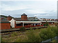
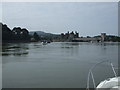
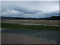
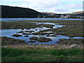
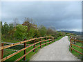
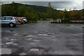
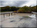
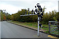
100 photos from this area
Area Information
Key information about the LL31 9EW including its size, population, and administrative classification.
- Area Type
- Postcode
- Area Size
- 2852 m²
- Population
- 1621
- Population Density
- 2283 people/km²
House Prices in LL31 9EW
14
Properties
£106,833
Average Sold Price
£71,500
Lowest Price
£177,000
Highest Price
Showing 14 properties
| Address | Type | Beds | Baths | Last Sale Price | Last Sale Date | |
|---|---|---|---|---|---|---|
| 14 St Margarets Road, Llandudno Junction, LL31 9EW | Terraced | 2 | 1 | £177,000 | Jun 2025 | |
| 4 St Margarets Road, Llandudno Junction, LL31 9EW | Terraced | 3 | 1 | £135,000 | Jan 2023 | |
| 5 St Margarets Road, Llandudno Junction, LL31 9EW | Terraced | 2 | 1 | £114,000 | Feb 2022 | |
| 1 St Margarets Road, Llandudno Junction, LL31 9EW | Terraced | 2 | 1 | £141,333 | Nov 2021 | |
| 12 St Margarets Road, Llandudno Junction, LL31 9EW | house | - | - | £115,000 | Aug 2019 | |
| 7 St Margarets Road, Llandudno Junction, LL31 9EW | house | - | - | £88,000 | Jun 2018 | |
| 3 St Margarets Road, Llandudno Junction, LL31 9EW | house | - | - | £87,000 | Nov 2017 | |
| 2 St Margarets Road, Llandudno Junction, LL31 9EW | Terraced | 2 | 1 | £99,000 | Nov 2011 | |
| 10 St Margarets Road, Llandudno Junction, LL31 9EW | house | - | - | £85,000 | Aug 2011 | |
| 13 St Margarets Road, Llandudno Junction, LL31 9EW | house | - | - | £83,000 | Mar 2011 |
Page 1 of 2
Energy Efficiency in LL31 9EW
Amenities
Schools
| Rank | School | Type | Entry gender | Ages |
|---|
Explore more schools in this area
Go to Schools tabDemographics
Household Size
Family (3-5 people)
most common
Accommodation Type
Houses
most common
Tenure
57
majority
Ethnic Group
White
most common
Religion
N/A
most common
Household Composition
N/A
most common
Age
47
median
Adults (30-64 years)
most common
Household Deprivation
N/A
with no deprivation
NS-SEC
23
in Lower managerial occupations
Explore more demographic insights in this area
Go to Demographics tabPlanning
Planning Constraints
- Flood RiskPremium
- Ramsar Wetland SitesPremium
- Area of Outstanding Natural BeautyPremium
- Protected Nature ReservePremium
- Protected WoodlandPremium
- Crime RiskPremium