Area Overview for LL31 9EU
Photos of LL31 9EU
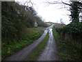

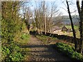
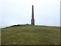
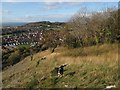
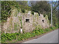
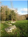

29 photos from this area
Area Information
Key information about the LL31 9EU including its size, population, and administrative classification.
- Area Type
- Postcode
- Area Size
- 1.6 hectares
- Population
- 1621
- Population Density
- 2283 people/km²
House Prices in LL31 9EU
24
Properties
£116,511
Average Sold Price
£19,720
Lowest Price
£190,000
Highest Price
Showing 24 properties
| Address | Type | Beds | Baths | Last Sale Price | Last Sale Date | |
|---|---|---|---|---|---|---|
| 45 Ronald Avenue, Llandudno Junction, LL31 9EU | house | - | - | £190,000 | Aug 2025 | |
| 68 Ronald Avenue, Llandudno Junction, LL31 9EU | house | - | - | £160,000 | Jun 2021 | |
| 51 Ronald Avenue, Llandudno Junction, LL31 9EU | Semi-detached | 3 | 1 | £164,950 | May 2021 | |
| 88 Ronald Avenue, Llandudno Junction, LL31 9EU | house | - | - | £127,500 | Jul 2019 | |
| 55 Ronald Avenue, Llandudno Junction, LL31 9EU | house | - | - | £125,000 | Jul 2019 | |
| 78 Ronald Avenue, Llandudno Junction, LL31 9EU | Semi-detached | 3 | 1 | £147,500 | Nov 2017 | |
| 47 Ronald Avenue, Llandudno Junction, LL31 9EU | Semi-detached | 3 | 1 | £130,000 | Nov 2017 | |
| 49 Ronald Avenue, Llandudno Junction, LL31 9EU | Semi-detached | 4 | - | £86,000 | Dec 2014 | |
| 90 Ronald Avenue, Llandudno Junction, LL31 9EU | house | - | - | £124,500 | Aug 2012 | |
| 90A Ronald Avenue, Llandudno Junction, LL31 9EU | Bungalow | - | - | £160,000 | Jun 2009 |
Page 1 of 3
Energy Efficiency in LL31 9EU
Amenities
Schools
| Rank | School | Type | Entry gender | Ages |
|---|
Explore more schools in this area
Go to Schools tabDemographics
Household Size
Family (3-5 people)
most common
Accommodation Type
Houses
most common
Tenure
57
majority
Ethnic Group
White
most common
Religion
N/A
most common
Household Composition
N/A
most common
Age
47
median
Adults (30-64 years)
most common
Household Deprivation
N/A
with no deprivation
NS-SEC
23
in Lower managerial occupations
Explore more demographic insights in this area
Go to Demographics tabPlanning
Planning Constraints
- Flood RiskPremium
- Ramsar Wetland SitesPremium
- Area of Outstanding Natural BeautyPremium
- Protected Nature ReservePremium
- Protected WoodlandPremium
- Crime RiskPremium