Area Overview for LL30 1SH
Photos of LL30 1SH
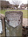
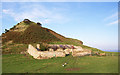
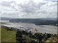
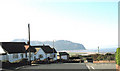
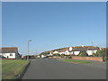
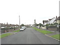
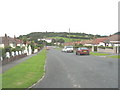
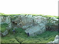
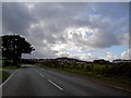
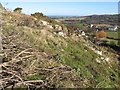
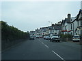
100 photos from this area
Area Information
Key information about the LL30 1SH including its size, population, and administrative classification.
- Area Type
- Postcode
- Area Size
- 2.1 hectares
- Population
- 1991
- Population Density
- 1165 people/km²
House Prices in LL30 1SH
9
Properties
£160,760
Average Sold Price
£80,000
Lowest Price
£200,000
Highest Price
Showing 9 properties
| Address | Type | Beds | Baths | Last Sale Price | Last Sale Date | |
|---|---|---|---|---|---|---|
| The Croft, Bryn Maelgwyn Lane, Llanrhos, Llandudno, LL30 1SH | Retail | 2 | 1 | £200,000 | Feb 2023 | |
| Woodvale, Bryn Maelgwyn Lane, Llanrhos, Llandudno, LL30 1SH | Semi-detached | - | - | £186,000 | Jul 2006 | |
| 2, Bryn Maelgwyn Cottages, Bryn Maelgwyn Lane, Llanrhos, Llandudno, LL30 1SH | Detached | 3 | 3 | £170,300 | Mar 2006 | |
| Auchenflower Bungalow, Bryn Maelgwyn Lane, Llanrhos, Llandudno, LL30 1SH | Semi-detached | - | - | £80,000 | May 2005 | |
| Meadow Nook, Bryn Maelgwyn Lane, Llanrhos, Llandudno, LL30 1SH | Detached | - | - | £167,500 | Sep 2003 | |
| Bwthyn Y Gwenyn, Bryn Lupus Road, Llanrhos, Llandudno, LL30 1SH | Detached | - | - | - | - | |
| 3, Ashtree Cottage, Bryn Maelgwyn Cottages, Bryn Maelgwyn Lane, Llanrhos, Llandudno, LL30 1SH | Cottage | 2 | - | - | - | |
| South Lea, Bryn Maelgwyn Lane, Llanrhos, Llandudno, LL30 1SH | Detached | - | - | - | - | |
| Llys Ceirios, Bryn Maelgwyn Lane, Llanrhos, Llandudno, LL30 1SH | house | - | - | - | - |
Energy Efficiency in LL30 1SH
Amenities
Schools
| Rank | School | Type | Entry gender | Ages |
|---|
Explore more schools in this area
Go to Schools tabDemographics
Household Size
Two person
most common
Accommodation Type
Houses
most common
Tenure
90
majority
Ethnic Group
White
most common
Religion
N/A
most common
Household Composition
N/A
most common
Age
47
median
Elderly (65+ years)
most common
Household Deprivation
N/A
with no deprivation
NS-SEC
41
in Lower managerial occupations
Explore more demographic insights in this area
Go to Demographics tabPlanning
Planning Constraints
- Flood RiskPremium
- Ramsar Wetland SitesPremium
- Area of Outstanding Natural BeautyPremium
- Protected Nature ReservePremium
- Protected WoodlandPremium
- Crime RiskPremium