Area Overview for LL29 8ET
Photos of LL29 8ET
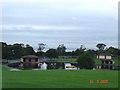
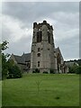
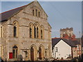
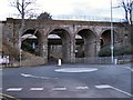
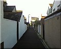
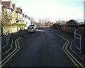
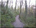
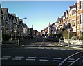
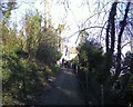
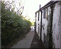
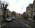
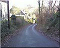
100 photos from this area
Area Information
Key information about the LL29 8ET including its size, population, and administrative classification.
- Area Type
- Postcode
- Area Size
- 1.7 hectares
- Population
- 1676
- Population Density
- 2140 people/km²
House Prices in LL29 8ET
14
Properties
£105,300
Average Sold Price
£40,000
Lowest Price
£165,000
Highest Price
Showing 14 properties
| Address | Type | Beds | Baths | Last Sale Price | Last Sale Date | |
|---|---|---|---|---|---|---|
| 83 Greenfield Road, Colwyn Bay, LL29 8ET | Terraced | 3 | 1 | £165,000 | Mar 2022 | |
| 75 Greenfield Road, Colwyn Bay, LL29 8ET | Semi-detached | 3 | - | £138,000 | Aug 2019 | |
| 87 Greenfield Road, Colwyn Bay, LL29 8ET | Terraced | 3 | - | £78,000 | Mar 2011 | |
| 85 Greenfield Road, Colwyn Bay, LL29 8ET | Terraced | 3 | 2 | £105,500 | Jul 2010 | |
| Plas Eirias, 70 Greenfield Road, Colwyn Bay, LL29 8ET | house | - | - | £40,000 | Feb 2004 | |
| 81 Greenfield Road, Colwyn Bay, LL29 8ET | house | 10 | 3 | - | - | |
| 89 Greenfield Road, Colwyn Bay, LL29 8ET | Detached | 3 | 1 | - | - | |
| 73 Greenfield Road, Colwyn Bay, LL29 8ET | Semi-detached | - | - | - | - | |
| Fflat 3, 77 Greenfield Road, Colwyn Bay, LL29 8ET | Flat | - | - | - | - | |
| Fflat 2, 77 Greenfield Road, Colwyn Bay, LL29 8ET | Flat | - | - | - | - |
Page 1 of 2
Energy Efficiency in LL29 8ET
Amenities
Schools
| Rank | School | Type | Entry gender | Ages |
|---|
Explore more schools in this area
Go to Schools tabDemographics
Household Size
One person
most common
Accommodation Type
Flats
most common
Tenure
33
majority
Ethnic Group
White
most common
Religion
N/A
most common
Household Composition
N/A
most common
Age
47
median
Adults (30-64 years)
most common
Household Deprivation
N/A
with no deprivation
NS-SEC
19
in Lower managerial occupations
Explore more demographic insights in this area
Go to Demographics tabPlanning
Planning Constraints
- Flood RiskPremium
- Ramsar Wetland SitesPremium
- Area of Outstanding Natural BeautyPremium
- Protected Nature ReservePremium
- Protected WoodlandPremium
- Crime RiskPremium