Area Overview for LL29 7ER
Photos of LL29 7ER
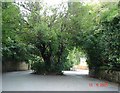
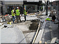
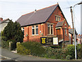
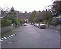
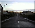

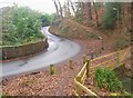
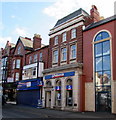
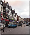
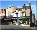
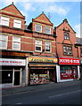
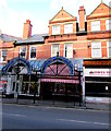
94 photos from this area
Area Information
Key information about the LL29 7ER including its size, population, and administrative classification.
- Area Type
- Postcode
- Area Size
- 6975 m²
- Population
- 1577
- Population Density
- 10019 people/km²
House Prices in LL29 7ER
11
Properties
£275,650
Average Sold Price
£245,000
Lowest Price
£330,000
Highest Price
Showing 11 properties
| Address | Type | Beds | Baths | Last Sale Price | Last Sale Date | |
|---|---|---|---|---|---|---|
| Tapton Mount, 10 Woodland Park, Colwyn Bay, LL29 7ER | house | - | - | £245,000 | Aug 2022 | |
| Henllys, 19 Woodland Park, Colwyn Bay, LL29 7ER | Detached | 5 | - | £299,950 | Jan 2019 | |
| Eversley, 21 Woodland Park, Colwyn Bay, LL29 7ER | house | 5 | 2 | £253,300 | Jul 2017 | |
| Coed Eryl, 12 Woodland Park, Colwyn Bay, LL29 7ER | house | - | - | £330,000 | Aug 2010 | |
| 14 Woodland Park, Colwyn Bay, LL29 7ER | Semi-detached | - | - | £250,000 | Jul 2007 | |
| Highclere, 22 Woodhill Road, Colwyn Bay, LL29 7ER | Detached | - | - | - | - | |
| 15C Woodland Park, Colwyn Bay, LL29 7ER | Flat | - | - | - | - | |
| 15A Woodland Park, Colwyn Bay, LL29 7ER | Flat | - | - | - | - | |
| Dover Court, 17 Woodland Park, Colwyn Bay, LL29 7ER | Detached | - | - | - | - | |
| 15B Woodland Park, Colwyn Bay, LL29 7ER | Flat | - | - | - | - |
Page 1 of 2
Energy Efficiency in LL29 7ER
Amenities
Schools
| Rank | School | Type | Entry gender | Ages |
|---|
Explore more schools in this area
Go to Schools tabDemographics
Household Size
Family (3-5 people)
most common
Accommodation Type
Houses
most common
Tenure
61
majority
Ethnic Group
White
most common
Religion
N/A
most common
Household Composition
N/A
most common
Age
47
median
Adults (30-64 years)
most common
Household Deprivation
N/A
with no deprivation
NS-SEC
26
in Lower managerial occupations
Explore more demographic insights in this area
Go to Demographics tabPlanning
Planning Constraints
- Flood RiskPremium
- Ramsar Wetland SitesPremium
- Area of Outstanding Natural BeautyPremium
- Protected Nature ReservePremium
- Protected WoodlandPremium
- Crime RiskPremium