Area Overview for LL28 4PW
Photos of LL28 4PW
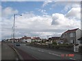
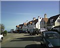
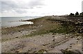
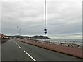
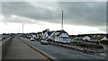
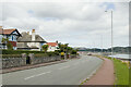
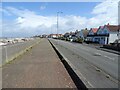
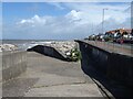

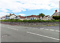
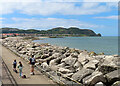
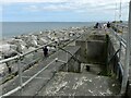
52 photos from this area
Area Information
Key information about the LL28 4PW including its size, population, and administrative classification.
- Area Type
- Postcode
- Area Size
- 2.1 hectares
- Population
- 1486
- Population Density
- 3882 people/km²
House Prices in LL28 4PW
41
Properties
£220,547
Average Sold Price
£52,000
Lowest Price
£379,950
Highest Price
Showing 41 properties
| Address | Type | Beds | Baths | Last Sale Price | Last Sale Date | |
|---|---|---|---|---|---|---|
| 29 The Cloisters, Rhos On Sea, LL28 4PW | Detached | 4 | 2 | £365,000 | Apr 2025 | |
| Afallon, 25 The Cloisters, Rhos On Sea, LL28 4PW | house | - | - | £142,500 | Feb 2025 | |
| 15 The Cloisters, Rhos On Sea, LL28 4PW | Detached | 3 | 2 | £317,000 | Dec 2024 | |
| 41 The Cloisters, Rhos On Sea, LL28 4PW | Detached | 4 | 2 | £379,950 | Nov 2024 | |
| 30 The Cloisters, Rhos On Sea, LL28 4PW | house | 3 | 2 | £330,000 | Nov 2024 | |
| 21 The Cloisters, Rhos On Sea, LL28 4PW | Detached | 4 | 2 | £377,500 | Oct 2024 | |
| 36 The Cloisters, Rhos On Sea, LL28 4PW | Detached | 4 | 2 | £314,950 | Feb 2024 | |
| 35 The Cloisters, Rhos On Sea, LL28 4PW | house | - | - | £341,000 | Sep 2022 | |
| 24 The Cloisters, Rhos On Sea, LL28 4PW | house | - | - | £178,000 | Jun 2021 | |
| 28 The Cloisters, Rhos On Sea, LL28 4PW | Detached | 4 | 2 | £290,000 | Apr 2021 |
Page 1 of 5
Energy Efficiency in LL28 4PW
Amenities
Schools
| Rank | School | Type | Entry gender | Ages |
|---|
Explore more schools in this area
Go to Schools tabDemographics
Household Size
One person
most common
Accommodation Type
Flats
most common
Tenure
68
majority
Ethnic Group
White
most common
Religion
N/A
most common
Household Composition
N/A
most common
Age
47
median
Elderly (65+ years)
most common
Household Deprivation
N/A
with no deprivation
NS-SEC
35
in Lower managerial occupations
Explore more demographic insights in this area
Go to Demographics tabPlanning
Planning Constraints
- Flood RiskPremium
- Ramsar Wetland SitesPremium
- Area of Outstanding Natural BeautyPremium
- Protected Nature ReservePremium
- Protected WoodlandPremium
- Crime RiskPremium