Area Overview for LL28 4LE
Photos of LL28 4LE
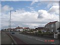
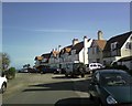
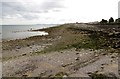
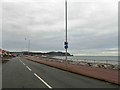
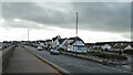
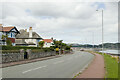
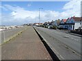
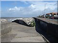

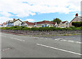
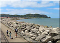
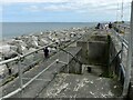
52 photos from this area
Area Information
Key information about the LL28 4LE including its size, population, and administrative classification.
- Area Type
- Postcode
- Area Size
- 1855 m²
- Population
- 1428
- Population Density
- 3744 people/km²
House Prices in LL28 4LE
8
Properties
£122,917
Average Sold Price
£38,000
Lowest Price
£210,000
Highest Price
Showing 8 properties
| Address | Type | Beds | Baths | Last Sale Price | Last Sale Date | |
|---|---|---|---|---|---|---|
| 6 Links Avenue, Rhos On Sea, LL28 4LE | Terraced | 3 | 1 | £210,000 | Apr 2023 | |
| 1 Links Avenue, Rhos On Sea, LL28 4LE | Terraced | 3 | - | £154,000 | Feb 2015 | |
| 8 Links Avenue, Rhos On Sea, LL28 4LE | Land | - | - | £157,500 | Dec 2007 | |
| 7 Links Avenue, Rhos On Sea, LL28 4LE | Terraced | - | - | £70,000 | Mar 2006 | |
| 5 Links Avenue, Rhos On Sea, LL28 4LE | house | - | - | £108,000 | Nov 2003 | |
| 3 Links Avenue, Rhos On Sea, LL28 4LE | house | - | - | £38,000 | Sep 1996 | |
| Croxton, 2 Links Avenue, Rhos On Sea, LL28 4LE | Terraced | 3 | 1 | - | - | |
| 4 Links Avenue, Rhos On Sea, LL28 4LE | Terraced | - | - | - | - |
Energy Efficiency in LL28 4LE
Amenities
Schools
| Rank | School | Type | Entry gender | Ages |
|---|
Explore more schools in this area
Go to Schools tabDemographics
Household Size
One person
most common
Accommodation Type
Houses
most common
Tenure
49
majority
Ethnic Group
White
most common
Religion
N/A
most common
Household Composition
N/A
most common
Age
47
median
Adults (30-64 years)
most common
Household Deprivation
N/A
with no deprivation
NS-SEC
27
in Lower managerial occupations
Explore more demographic insights in this area
Go to Demographics tabPlanning
Planning Constraints
- Flood RiskPremium
- Ramsar Wetland SitesPremium
- Area of Outstanding Natural BeautyPremium
- Protected Nature ReservePremium
- Protected WoodlandPremium
- Crime RiskPremium