Area Overview for LL24 0UF
Photos of LL24 0UF
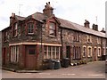
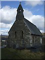
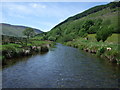
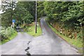

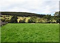
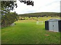
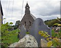
100 photos from this area
Area Information
Key information about the LL24 0UF including its size, population, and administrative classification.
- Area Type
- Postcode
- Area Size
- 1.6 hectares
- Population
- 1469
- Population Density
- 8 people/km²
House Prices in LL24 0UF
11
Properties
£156,000
Average Sold Price
£116,000
Lowest Price
£187,000
Highest Price
Showing 11 properties
| Address | Type | Beds | Baths | Last Sale Price | Last Sale Date | |
|---|---|---|---|---|---|---|
| 1, Llanerch, Mary Street, Glasgwm Road, Penmachno, Betws y Coed, LL24 0UF | Detached | - | - | £116,000 | Apr 2021 | |
| Plas Morda, Tyn Y Ddol Road, Penmachno, Betws Y Coed, LL24 0UF | Terraced | 3 | 2 | £187,000 | May 2019 | |
| Chester House, Glasgwm Road, Penmachno, Betws Y Coed, LL24 0UF | house | - | - | £165,000 | Jun 2015 | |
| Y Ffald, Glasgwm Road, Penmachno, Betws Y Coed, LL24 0UF | Terraced | - | - | - | - | |
| Dolwen, Glasgwm Road, Penmachno, Betws Y Coed, LL24 0UF | Terraced | 1 | - | - | - | |
| 2, MARY STREET, GLASGWM ROAD, Penmachno, Betws y Coed, LL24 0UF | Terraced | - | - | - | - | |
| 1 Glasgwm Road, Glasgwm Road, Penmachno, Betws Y Coed, LL24 0UF | house | - | - | - | - | |
| Bryn Salem, Glasgwm Road, Penmachno, Betws Y Coed, LL24 0UF | Detached | - | - | - | - | |
| Tan Y Bryn, Glasgwm Road, Penmachno, Betws Y Coed, LL24 0UF | Detached | - | - | - | - | |
| Siop Penmachno, Plas Morda, Tyn Y Ddol Road, Penmachno, Betws Y Coed, LL24 0UF | shop | - | - | - | - |
Page 1 of 2
Energy Efficiency in LL24 0UF
Amenities
Schools
| Rank | School | Type | Entry gender | Ages |
|---|
Explore more schools in this area
Go to Schools tabDemographics
Household Size
Two person
most common
Accommodation Type
Houses
most common
Tenure
70
majority
Ethnic Group
White
most common
Religion
N/A
most common
Household Composition
N/A
most common
Age
47
median
Adults (30-64 years)
most common
Household Deprivation
N/A
with no deprivation
NS-SEC
34
in Lower managerial occupations
Explore more demographic insights in this area
Go to Demographics tabPlanning
Planning Constraints
- Flood RiskPremium
- Ramsar Wetland SitesPremium
- Area of Outstanding Natural BeautyPremium
- Protected Nature ReservePremium
- Protected WoodlandPremium
- Crime RiskPremium