Area Overview for LL22 7EG
Photos of LL22 7EG
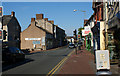
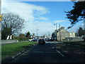
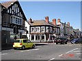
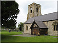
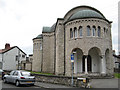
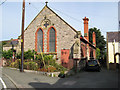

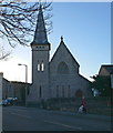
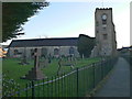
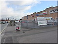
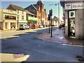
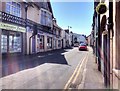
88 photos from this area
Area Information
Key information about the LL22 7EG including its size, population, and administrative classification.
- Area Type
- Postcode
- Area Size
- 1.8 hectares
- Population
- 1514
- Population Density
- 551 people/km²
House Prices in LL22 7EG
26
Properties
£227,303
Average Sold Price
£140,000
Lowest Price
£465,000
Highest Price
Showing 26 properties
| Address | Type | Beds | Baths | Last Sale Price | Last Sale Date | |
|---|---|---|---|---|---|---|
| 14 Llwyn Onn, Abergele, LL22 7EG | Bungalow | 4 | 2 | £465,000 | Mar 2024 | |
| 7 Llwyn Onn, Abergele, LL22 7EG | Retail | 3 | 1 | £280,500 | Oct 2022 | |
| 21 Llwyn Onn, Abergele, LL22 7EG | Bungalow | 3 | 2 | £420,000 | Apr 2021 | |
| 1 Llwyn Onn, Abergele, LL22 7EG | Bungalow | 2 | 1 | £215,000 | Aug 2019 | |
| 16A Llwyn Onn, Abergele, LL22 7EG | Bungalow | 3 | 2 | £335,000 | Apr 2019 | |
| 17 Llwyn Onn, Abergele, LL22 7EG | Bungalow | 3 | 2 | £364,950 | Dec 2017 | |
| 2 Llwyn Onn, Abergele, LL22 7EG | Bungalow | 2 | 1 | £165,000 | Dec 2014 | |
| 6 Llwyn Onn, Abergele, LL22 7EG | Detached | - | - | £151,000 | Nov 2003 | |
| 18 Llwyn Onn, Abergele, LL22 7EG | Detached | - | - | £182,000 | Jun 2003 | |
| 29 Llwyn Onn, Abergele, LL22 7EG | Detached | - | - | £164,000 | Mar 2003 |
Page 1 of 3
Energy Efficiency in LL22 7EG
Amenities
Schools
| Rank | School | Type | Entry gender | Ages |
|---|
Explore more schools in this area
Go to Schools tabDemographics
Household Size
Two person
most common
Accommodation Type
Houses
most common
Tenure
91
majority
Ethnic Group
White
most common
Religion
N/A
most common
Household Composition
N/A
most common
Age
47
median
Elderly (65+ years)
most common
Household Deprivation
N/A
with no deprivation
NS-SEC
43
in Lower managerial occupations
Explore more demographic insights in this area
Go to Demographics tabPlanning
Planning Constraints
- Flood RiskPremium
- Ramsar Wetland SitesPremium
- Area of Outstanding Natural BeautyPremium
- Protected Nature ReservePremium
- Protected WoodlandPremium
- Crime RiskPremium