Area Overview for LL22 7DF
Photos of LL22 7DF
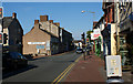
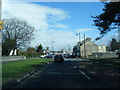
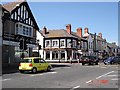
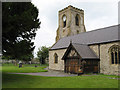
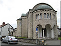
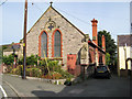
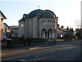
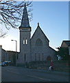
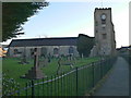
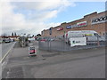
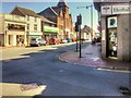
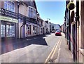
88 photos from this area
Area Information
Key information about the LL22 7DF including its size, population, and administrative classification.
- Area Type
- Postcode
- Area Size
- 1.5 hectares
- Population
- 1538
- Population Density
- 3244 people/km²
House Prices in LL22 7DF
41
Properties
£157,177
Average Sold Price
£42,000
Lowest Price
£262,000
Highest Price
Showing 41 properties
| Address | Type | Beds | Baths | Last Sale Price | Last Sale Date | |
|---|---|---|---|---|---|---|
| 26 The Broadway, Abergele, LL22 7DF | Semi-detached | 2 | 1 | £170,000 | Aug 2025 | |
| 20 The Broadway, Abergele, LL22 7DF | Bungalow | 2 | - | £182,500 | May 2025 | |
| 69 The Broadway, Abergele, LL22 7DF | Semi-detached | 2 | 1 | £185,000 | Mar 2025 | |
| 40 The Broadway, Abergele, LL22 7DF | Bungalow | 3 | 2 | £230,000 | Dec 2024 | |
| 52 The Broadway, Abergele, LL22 7DF | Bungalow | 2 | 1 | £185,000 | Oct 2024 | |
| 51 The Broadway, Abergele, LL22 7DF | Bungalow | 2 | 1 | £170,000 | Apr 2024 | |
| 38 The Broadway, Abergele, LL22 7DF | Semi-detached | 2 | 1 | £204,000 | Feb 2024 | |
| 62 The Broadway, Abergele, LL22 7DF | Bungalow | 2 | 1 | £192,500 | Sep 2023 | |
| 57 The Broadway, Abergele, LL22 7DF | Bungalow | - | - | £262,000 | Nov 2022 | |
| 34 The Broadway, Abergele, LL22 7DF | Bungalow | 2 | 1 | £185,000 | Jun 2022 |
Page 1 of 5
Energy Efficiency in LL22 7DF
Amenities
Schools
| Rank | School | Type | Entry gender | Ages |
|---|
Explore more schools in this area
Go to Schools tabDemographics
Household Size
Two person
most common
Accommodation Type
Houses
most common
Tenure
82
majority
Ethnic Group
White
most common
Religion
N/A
most common
Household Composition
N/A
most common
Age
47
median
Elderly (65+ years)
most common
Household Deprivation
N/A
with no deprivation
NS-SEC
33
in Lower managerial occupations
Explore more demographic insights in this area
Go to Demographics tabPlanning
Planning Constraints
- Flood RiskPremium
- Ramsar Wetland SitesPremium
- Area of Outstanding Natural BeautyPremium
- Protected Nature ReservePremium
- Protected WoodlandPremium
- Crime RiskPremium