Area Overview for LL22 7AW
Photos of LL22 7AW
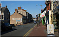
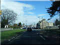
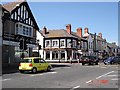
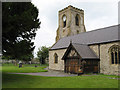
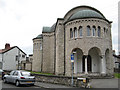
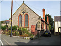
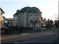
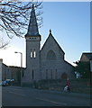
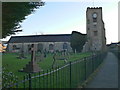
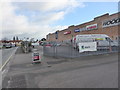
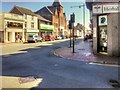
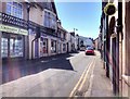
88 photos from this area
Area Information
Key information about the LL22 7AW including its size, population, and administrative classification.
- Area Type
- Postcode
- Area Size
- 1.1 hectares
- Population
- 1771
- Population Density
- 186 people/km²
House Prices in LL22 7AW
25
Properties
£94,214
Average Sold Price
£34,000
Lowest Price
£135,000
Highest Price
Showing 25 properties
| Address | Type | Beds | Baths | Last Sale Price | Last Sale Date | |
|---|---|---|---|---|---|---|
| 6 Chapel Street, Abergele, LL22 7AW | Terraced | 2 | 1 | £126,500 | Nov 2024 | |
| Fernbank, Chapel Street, Abergele, LL22 7AW | Terraced | 3 | 1 | £120,000 | Mar 2020 | |
| 8 Chapel Street, Abergele, LL22 7AW | Terraced | 2 | 1 | £135,000 | Sep 2019 | |
| Kingswood House, Chapel Street, Abergele, LL22 7AW | Flat | - | - | £75,000 | Dec 2016 | |
| 7 Chapel Street, Abergele, LL22 7AW | Terraced | - | - | £90,000 | Oct 2014 | |
| 5 Chapel Street, Abergele, LL22 7AW | house | - | - | £79,000 | Sep 2011 | |
| 4 Chapel Street, Abergele, LL22 7AW | Terraced | 2 | 1 | £34,000 | May 1999 | |
| Flat 1, Bowden House, Chapel Street, Abergele, LL22 7AW | Retail | 6 | - | - | - | |
| The Bungalow, Rear Of Bowden House, Chapel Street, Abergele, LL22 7AW | Detached | - | - | - | - | |
| Flat 2, Brymbo House, Chapel Street, Abergele, LL22 7AW | undefined | - | - | - | - |
Page 1 of 3
Energy Efficiency in LL22 7AW
Amenities
Schools
| Rank | School | Type | Entry gender | Ages |
|---|
Explore more schools in this area
Go to Schools tabDemographics
Household Size
Two person
most common
Accommodation Type
Houses
most common
Tenure
66
majority
Ethnic Group
White
most common
Religion
N/A
most common
Household Composition
N/A
most common
Age
47
median
Adults (30-64 years)
most common
Household Deprivation
N/A
with no deprivation
NS-SEC
31
in Lower managerial occupations
Explore more demographic insights in this area
Go to Demographics tabPlanning
Planning Constraints
- Flood RiskPremium
- Ramsar Wetland SitesPremium
- Area of Outstanding Natural BeautyPremium
- Protected Nature ReservePremium
- Protected WoodlandPremium
- Crime RiskPremium