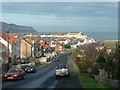
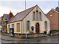
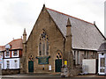
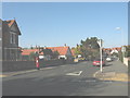
Area Overview for Llandudno Community
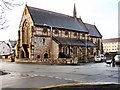
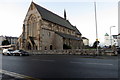
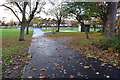
Photos of Llandudno Community

Area Information
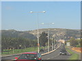
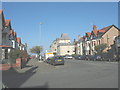
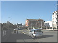
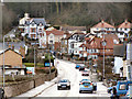
Living in Llandudno Community offers a distinct experience within a civil parish of 23.8 square kilometres. The area hosts a population of 11,952 residents, creating a density of 503 people per square kilometre. This mid-range density suggests a community that feels populated yet maintains local character. You will find yourself in a setting defined by clear boundaries and a manageable scale. The parish stands as a established administrative unit with a defined footprint. Daily life here revolves around proximity to services within this specific geographical zone. The area combines residential living with natural surroundings. You access neighbourhoods that balance quiet streets with community engagement. The layout supports a lifestyle where local travel remains practical. Whether you walk near the centre or travel to the edges of the parish, the scale ensures nothing feels distant. The 11,952 people call this land home and maintain the rhythm of daily routines here. Understanding the size and population helps you gauge the pace of life before viewing homes in Llandudno Community.
- Area Type
- Parish
- Area Size
- 23.8 km²
- Population
- 11952
- Population Density
- 503 people/km²
Demographics
The community in Llandudno Community reflects an older generation compared to the national average. The median age for residents is 70 years, indicating a population skewed significantly towards older adults. Most current residents fall into age brackets associated with retirement or senior living. This demographic profile shapes the rhythm of the neighbourhood and local service usage. Home ownership stands at 73 percent of households, suggesting stability and long-term residency. This high ownership rate points to an established community where residents have invested deeply in their local environment. Accommodation types vary across the parish, catering to the needs of this age group. The most common age range spans the entire population, reinforcing the lack of a young skew. You will not find a large influx of families with very young children based on current figures. Diversity in ethnicity and religion remains part of the fabric, though the dominant group shapes the cultural tone. These statistics paint a picture of a settled, mature community focused on later-life living.
Household Size
Accommodation Type
Tenure
Ethnic Group
Religion
Household Composition
Age
Household Deprivation
NS-SEC
Explore more demographic insights in this area
Go to Demographics tabPlanning
Planning Constraints
- Flood RiskPremium
- Ramsar Wetland SitesPremium
- Area of Outstanding Natural BeautyPremium
- Protected Nature ReservePremium
- Protected WoodlandPremium
- Crime RiskPremium