Area Overview for Colwyn Bay Community
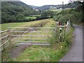
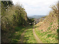
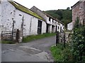
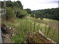
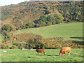
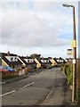
Photos of Colwyn Bay Community
Area Information
Living in Colwyn Bay Community offers a precise slice of north Wales coast life centred on the historic town of Colwyn Bay. This civil parish covers an area of exactly 8.0 km² and contains a population of 3,040 residents. You find yourself in a subdivided community that emerged from the former Colwyn Bay borough, now governed by Conwy County Borough Council and Bay of Colwyn Town Council. The location sits on the Irish Sea coast at approximately 53.2858°N, -3.7318°W, blending urban amenities with seaside heritage. Your daily life rotates around key landmarks including the Victorian promenade, Fairy Glen ancient woodland in Old Colwyn, and Eirias Park. The area preserves significant history, from its origins as an ancient fishing community around the River Colwyn to its rapid growth as a Victorian resort from the 1860s. You stand on land where the Chester-Holyhead railway opened in 1849, transforming the area into a sought-after holiday destination. Nearby sites include the Colwyn Bay Library, built between 1904 and 1905 with Carnegie funding, and the former Colwyn Bay Hotel, which served as a Ministry of Food headquarters during the Second World War. Homes in Colwyn Bay Community reflect this layered history, featuring legacy grand Victorian and Edwardian properties alongside modern developments. The town acts as a residential hub for the wider Conwy county, offering a direct settlement point between Llandudno and Rhos-on-Sea. For you, the resident, this means access to a complete town structure within a compact 8 km² footprint, ensuring that local services, historical sites, and coastal views are never far away.
- Area Type
- Parish
- Area Size
- 8.0 km²
- Population
- 3040
- Population Density
- 380 people/km²
Demographics
The population of Colwyn Bay Community displays a distinctly older profile, with a median age of 70 years. This statistic indicates that the majority of residents fall into the senior demographic compared to the national average. You are living in an area where the most common age grouping is simply marked as 'Total', suggesting a broad spread across older age brackets rather than young families or working-age adults dominating the census data. This age distribution shapes the local culture and service demand significantly. Home ownership stands at 63%, meaning nearly two-thirds of households own their property outright or with a mortgage. Consequently, the rental market occupies the remaining one-third of the housing stock. While specific details on ethnicity and religious affiliation are not detailed in current records, the high home ownership rate suggests a settled, long-term community rather than a transient population. The household composition and accommodation types remain largely undefined in the available statistics, hinting at a traditional mix of housing standards. Aged care homes and downsizing may be influencing the market, as the median age of 70 aligns with typical retirement demographics. You might find that neighbours have lived here for decades, creating close traditional bonds. The high proportion of owner-occupiers reinforces a sense of stability within these 8.0 km² boundaries.
Household Size
Accommodation Type
Tenure
Ethnic Group
Religion
Household Composition
Age
Household Deprivation
NS-SEC
Explore more demographic insights in this area
Go to Demographics tabPlanning
Planning Constraints
- Flood RiskPremium
- Ramsar Wetland SitesPremium
- Area of Outstanding Natural BeautyPremium
- Protected Nature ReservePremium
- Protected WoodlandPremium
- Crime RiskPremium