Area Overview for SY23 2ET
Photos of SY23 2ET
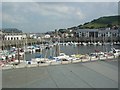
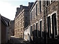
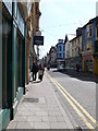
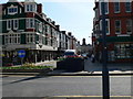
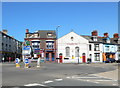
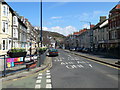
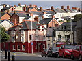
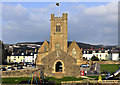
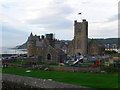
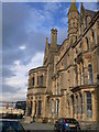
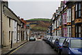
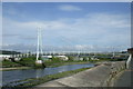
100 photos from this area
Area Information
Key information about the SY23 2ET including its size, population, and administrative classification.
- Area Type
- Postcode
- Area Size
- 3492 m²
- Population
- 2921
- Population Density
- 681 people/km²
House Prices in SY23 2ET
17
Properties
£191,750
Average Sold Price
£145,000
Lowest Price
£244,000
Highest Price
Showing 17 properties
| Address | Type | Beds | Baths | Last Sale Price | Last Sale Date | |
|---|---|---|---|---|---|---|
| 8, Penglais Terrace, Penglais Road, Penglais, Aberystwyth, SY23 2ET | house | 6 | 2 | £244,000 | Jan 2012 | |
| 5, Penglais Terrace, Penglais Road, Penglais, Aberystwyth, SY23 2ET | Terraced | 5 | 1 | £200,000 | Aug 2007 | |
| 10, Penglais Terrace, Penglais Road, Penglais, Aberystwyth, SY23 2ET | Terraced | 6 | 2 | £145,000 | May 2005 | |
| 4 Penglais Terrace, Aberystwyth, SY23 2ET | house | 4 | 1 | £178,000 | Jul 2004 | |
| 9, Penglais Terrace, Penglais Road, Penglais, Aberystwyth, SY23 2ET | Terraced | 6 | 2 | - | - | |
| 3, Penglais Terrace, Penglais Road, Penglais, Aberystwyth, SY23 2ET | Terraced | 4 | 2 | - | - | |
| 6, Rhos Rhiw, Penglais Terrace, Penglais Road, Penglais, Aberystwyth, SY23 2ET | Terraced | 5 | 2 | - | - | |
| 2, Penglais Terrace, Penglais Road, Penglais, Aberystwyth, SY23 2ET | house | 7 | 2 | - | - | |
| 7, The Knowles, Penglais Terrace, Penglais Road, Penglais, Aberystwyth, SY23 2ET | Terraced | - | - | - | - | |
| Ceinionfa, Penglais Road, Penglais, Aberystwyth, SY23 2ET | Terraced | 7 | 2 | - | - |
Page 1 of 2
Energy Efficiency in SY23 2ET
Amenities
Schools
| Rank | School | Type | Entry gender | Ages |
|---|
Explore more schools in this area
Go to Schools tabDemographics
Household Size
Two person
most common
Accommodation Type
Houses
most common
Tenure
61
majority
Ethnic Group
White
most common
Religion
N/A
most common
Household Composition
N/A
most common
Age
22
median
Young Adults (15-29 years)
most common
Household Deprivation
N/A
with no deprivation
NS-SEC
14
in Lower managerial occupations
Explore more demographic insights in this area
Go to Demographics tabPlanning
Planning Constraints
- Flood RiskPremium
- Ramsar Wetland SitesPremium
- Area of Outstanding Natural BeautyPremium
- Protected Nature ReservePremium
- Protected WoodlandPremium
- Crime RiskPremium