Area Overview for SA48 8QF
Photos of SA48 8QF
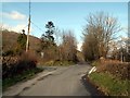
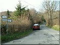
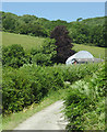
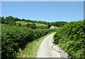
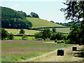
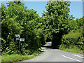
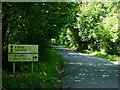
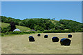
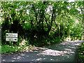
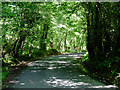
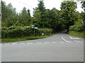
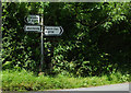
13 photos from this area
Area Information
Key information about the SA48 8QF including its size, population, and administrative classification.
- Area Type
- Postcode
- Area Size
- 55.8 hectares
- Population
- 1390
- Population Density
- 19 people/km²
House Prices in SA48 8QF
5
Properties
£129,975
Average Sold Price
£95,000
Lowest Price
£164,950
Highest Price
Showing 5 properties
| Address | Type | Beds | Baths | Last Sale Price | Last Sale Date | |
|---|---|---|---|---|---|---|
| Trebost, C 1143 From Junction Of The B 4342 A To Property Known As Trefran, Bwlchllan, SA48 8QF | Farm | 4 | 2 | £95,000 | Jul 2004 | |
| Trefran, C 1143 From Junction Of The B 4342 A To Property Known As Trefran, Bwlchllan, SA48 8QF | house | - | - | £164,950 | Jul 2002 | |
| Ochr Deg, B 4342 A From Talsarn To The Junction Of The C 1143, Talsarn, SA48 8QF | Bungalow | - | - | - | - | |
| Outbuildings, Hafod, B 4576 From Bwlchllan To The Junction Of The B 4342, Bwlchllan, SA48 8QF | Farm | - | - | - | - | |
| Hafod, B 4576 From Bwlchllan To The Junction Of The B 4342, Bwlchllan, SA48 8QF | Detached | - | - | - | - |
Energy Efficiency in SA48 8QF
Amenities
Schools
| Rank | School | Type | Entry gender | Ages |
|---|
Explore more schools in this area
Go to Schools tabDemographics
Household Size
Two person
most common
Accommodation Type
Houses
most common
Tenure
82
majority
Ethnic Group
White
most common
Religion
N/A
most common
Household Composition
N/A
most common
Age
47
median
Adults (30-64 years)
most common
Household Deprivation
N/A
with no deprivation
NS-SEC
33
in Lower managerial occupations
Explore more demographic insights in this area
Go to Demographics tabPlanning
Planning Constraints
- Flood RiskPremium
- Ramsar Wetland SitesPremium
- Area of Outstanding Natural BeautyPremium
- Protected Nature ReservePremium
- Protected WoodlandPremium
- Crime RiskPremium