Area Overview for SA48 8NG
Photos of SA48 8NG
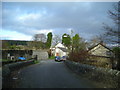
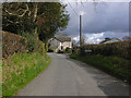
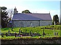
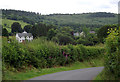

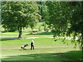
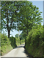
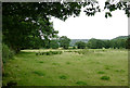
18 photos from this area
Area Information
Key information about the SA48 8NG including its size, population, and administrative classification.
- Area Type
- Postcode
- Area Size
- 21.3 hectares
- Population
- 1390
- Population Density
- 19 people/km²
House Prices in SA48 8NG
19
Properties
£213,000
Average Sold Price
£83,000
Lowest Price
£320,000
Highest Price
Showing 19 properties
| Address | Type | Beds | Baths | Last Sale Price | Last Sale Date | |
|---|---|---|---|---|---|---|
| Riverslea, 3 Water Street, Llangybi, SA48 8NG | Cottage | 3 | 2 | £120,000 | Jul 2025 | |
| Brynteg, C 1020 From The Entrance To Maesyforest Farm To The Junction Of The C 1011, Llangybi, SA48 8NG | Bungalow | 5 | 1 | £320,000 | Feb 2024 | |
| Gwynfa, C 1020 From The Entrance To Maesyforest Farm To The Junction Of The C 1011, Llangybi, SA48 8NG | house | - | - | £320,000 | Mar 2019 | |
| Minafon, 1 Water Street, Llangybi, SA48 8NG | house | 2 | - | £83,000 | Aug 2018 | |
| Dulas, A 485 Llangybi Village, Llangybi, SA48 8NG | Bungalow | 3 | - | £284,250 | Oct 2016 | |
| Morfa, A 485 Llangybi Village, Llangybi, SA48 8NG | Detached | 3 | 2 | £175,000 | May 2005 | |
| Dulais Villa, C 1020 From The Entrance To Maesyforest Farm To The Junction Of The C 1011, Llangybi, SA48 8NG | house | - | - | £188,750 | Jan 2005 | |
| Llwynon, 2 Water Street, Llangybi, SA48 8NG | Bungalow | - | - | - | - | |
| Cartref, A 485 Llangybi Village, Llangybi, SA48 8NG | house | - | - | - | - | |
| Tygwyn, A 485 Llangybi Village, Llangybi, SA48 8NG | Detached | - | - | - | - |
Page 1 of 2
Energy Efficiency in SA48 8NG
Amenities
Schools
| Rank | School | Type | Entry gender | Ages |
|---|
Explore more schools in this area
Go to Schools tabDemographics
Household Size
Two person
most common
Accommodation Type
Houses
most common
Tenure
82
majority
Ethnic Group
White
most common
Religion
N/A
most common
Household Composition
N/A
most common
Age
47
median
Adults (30-64 years)
most common
Household Deprivation
N/A
with no deprivation
NS-SEC
33
in Lower managerial occupations
Explore more demographic insights in this area
Go to Demographics tabPlanning
Planning Constraints
- Flood RiskPremium
- Ramsar Wetland SitesPremium
- Area of Outstanding Natural BeautyPremium
- Protected Nature ReservePremium
- Protected WoodlandPremium
- Crime RiskPremium