Area Overview for SA48 7JU
Photos of SA48 7JU
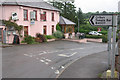
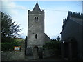
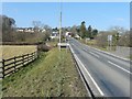
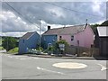
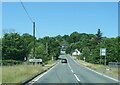
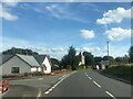
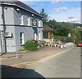
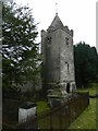
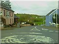
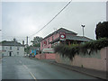
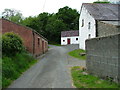
18 photos from this area
Area Information
Key information about the SA48 7JU including its size, population, and administrative classification.
- Area Type
- Postcode
- Area Size
- 2.5 hectares
- Population
- 1742
- Population Density
- 25 people/km²
House Prices in SA48 7JU
9
Properties
£175,000
Average Sold Price
£95,000
Lowest Price
£350,000
Highest Price
Showing 9 properties
| Address | Type | Beds | Baths | Last Sale Price | Last Sale Date | |
|---|---|---|---|---|---|---|
| Ty Cerrig, A 475 Llanwnen, Llanwnnen, SA48 7JU | Detached | 2 | 1 | £110,000 | Nov 2023 | |
| Brynderw, B 4337 Llanwnen, Llanwnnen, SA48 7JU | house | - | - | £350,000 | Jan 2021 | |
| Tegfan, A 475 Llanwnen, Llanwnnen, SA48 7JU | house | 4 | 1 | £145,000 | Aug 2020 | |
| Brynawelon, A 475 Llanwnen, Llanwnnen, SA48 7JU | house | - | - | £95,000 | Sep 2014 | |
| Greystones, B 4337 Llanwnen, Llanwnnen, SA48 7JU | Detached | - | - | - | - | |
| Glan Dderwen, B 4337 Llanwnen, Llanwnnen, SA48 7JU | Detached | - | - | - | - | |
| Eddann, B 4337 Llanwnen, Llanwnnen, SA48 7JU | Detached | - | - | - | - | |
| Hafod Y Coed, B 4337 Llanwnen, Llanwnnen, SA48 7JU | Detached | - | - | - | - | |
| Cilcain, B 4337 Llanwnen, Llanwnnen, SA48 7JU | Bungalow | - | - | - | - |
Energy Efficiency in SA48 7JU
Amenities
Schools
| Rank | School | Type | Entry gender | Ages |
|---|
Explore more schools in this area
Go to Schools tabDemographics
Household Size
Two person
most common
Accommodation Type
Houses
most common
Tenure
80
majority
Ethnic Group
White
most common
Religion
N/A
most common
Household Composition
N/A
most common
Age
47
median
Adults (30-64 years)
most common
Household Deprivation
N/A
with no deprivation
NS-SEC
28
in Lower managerial occupations
Explore more demographic insights in this area
Go to Demographics tabPlanning
Planning Constraints
- Flood RiskPremium
- Ramsar Wetland SitesPremium
- Area of Outstanding Natural BeautyPremium
- Protected Nature ReservePremium
- Protected WoodlandPremium
- Crime RiskPremium