Area Overview for SA43 3AD
Photos of SA43 3AD
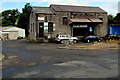
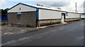
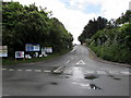
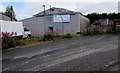
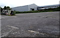
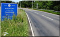
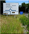
88 photos from this area
Area Information
Key information about the SA43 3AD including its size, population, and administrative classification.
- Area Type
- Postcode
- Area Size
- 8.3 hectares
- Population
- 1174
- Population Density
- 246 people/km²
House Prices in SA43 3AD
13
Properties
£100,000
Average Sold Price
£100,000
Lowest Price
£100,000
Highest Price
Showing 13 properties
| Address | Type | Beds | Baths | Last Sale Price | Last Sale Date | |
|---|---|---|---|---|---|---|
| Brynafon, Station Road, Cardigan, SA43 3AD | Bungalow | - | - | £100,000 | Nov 2011 | |
| Arfryn, Station Road, Cardigan, SA43 3AD | Land | - | - | - | - | |
| 2, O'r Diwedd, Station Road, Cardigan, SA43 3AD | Flat | 1 | 1 | - | - | |
| Hrs Refrigeration, 8 Station Road, Cardigan, SA43 3AD | office_workshop | - | - | - | - | |
| Unit 10, Station Road, Cardigan, SA43 3AD | Industrial | - | - | - | - | |
| 3, O'r Diwedd, Station Road, Cardigan, SA43 3AD | Flat | 1 | 1 | - | - | |
| 1, O'r Diwedd, Station Road, Cardigan, SA43 3AD | Flat | - | - | - | - | |
| Flat, Arfryn, Station Road, Cardigan, SA43 3AD | Flat | - | - | - | - | |
| J T Garage Services, Station Road, Cardigan, SA43 3AD | Industrial | - | - | - | - | |
| Empty Unit 3, Station Road, Cardigan, SA43 3AD | Industrial | - | - | - | - |
Page 1 of 2
Energy Efficiency in SA43 3AD
Amenities
Schools
| Rank | School | Type | Entry gender | Ages |
|---|
Explore more schools in this area
Go to Schools tabDemographics
Household Size
One person
most common
Accommodation Type
Houses
most common
Tenure
40
majority
Ethnic Group
White
most common
Religion
N/A
most common
Household Composition
N/A
most common
Age
47
median
Adults (30-64 years)
most common
Household Deprivation
N/A
with no deprivation
NS-SEC
20
in Lower managerial occupations
Explore more demographic insights in this area
Go to Demographics tabPlanning
Planning Constraints
- Flood RiskPremium
- Ramsar Wetland SitesPremium
- Area of Outstanding Natural BeautyPremium
- Protected Nature ReservePremium
- Protected WoodlandPremium
- Crime RiskPremium