Area Overview for SA34 0YP
Photos of SA34 0YP
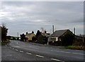
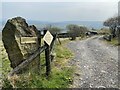
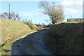
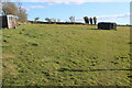
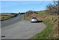
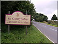
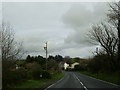
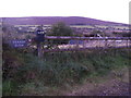

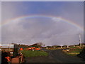
16 photos from this area
Area Information
Key information about the SA34 0YP including its size, population, and administrative classification.
- Area Type
- Postcode
- Area Size
- 3.0 km²
- Population
- 2097
- Population Density
- 21 people/km²
House Prices in SA34 0YP
19
Properties
£216,625
Average Sold Price
£154,000
Lowest Price
£335,000
Highest Price
Showing 19 properties
| Address | Type | Beds | Baths | Last Sale Price | Last Sale Date | |
|---|---|---|---|---|---|---|
| Arwel, Glandy Cross To Crymych, Hebron, Whitland, SA34 0YP | Bungalow | 2 | 1 | £210,000 | Sep 2024 | |
| Banc Y Ffynnon, Glandy Cross To Crymych, Hebron, Whitland, SA34 0YP | house | - | - | £335,000 | Oct 2021 | |
| Gelli Villa, Glandy Cross To Crymych, Hebron, Whitland, SA34 0YP | Detached | 3 | 2 | £167,500 | Apr 2021 | |
| Dan Y Bryn, Glandy Cross To Crymych, Hebron, Whitland, SA34 0YP | Bungalow | - | - | £154,000 | Nov 2001 | |
| Iet Goch, A 478 Junction U 3272 Glandwr Junction C 3118 Glandy Cross, Hebron, Whitland, SA34 0YP | Detached | 6 | 2 | - | - | |
| Iet Ddu, Ietgoch Road, Hebron, Whitland, SA34 0YP | Land | - | - | - | - | |
| The Granary, Pentre Glas, A 478 Junction U 3272 Glandwr Junction C 3118 Glandy Cross, Hebron, Whitland, SA34 0YP | Detached | - | - | - | - | |
| Caravan, Pentre Glas, A 478 Junction U 3272 Glandwr Junction C 3118 Glandy Cross, Hebron, Whitland, SA34 0YP | Mobile Home | - | - | - | - | |
| Caravan, Rhiw Glyn, Glandy Cross To Crymych, Hebron, Whitland, SA34 0YP | Mobile Home | - | - | - | - | |
| Tre Ysgaw, U 3274 From, Hebron, Whitland, SA34 0YP | house | - | - | - | - |
Page 1 of 2
Energy Efficiency in SA34 0YP
Amenities
Schools
| Rank | School | Type | Entry gender | Ages |
|---|
Explore more schools in this area
Go to Schools tabDemographics
Household Size
Two person
most common
Accommodation Type
Houses
most common
Tenure
85
majority
Ethnic Group
White
most common
Religion
N/A
most common
Household Composition
N/A
most common
Age
47
median
Adults (30-64 years)
most common
Household Deprivation
N/A
with no deprivation
NS-SEC
28
in Lower managerial occupations
Explore more demographic insights in this area
Go to Demographics tabPlanning
Planning Constraints
- Flood RiskPremium
- Ramsar Wetland SitesPremium
- Area of Outstanding Natural BeautyPremium
- Protected Nature ReservePremium
- Protected WoodlandPremium
- Crime RiskPremium