Area Overview for SA34 0PJ
Photos of SA34 0PJ
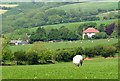
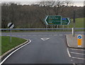
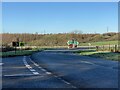
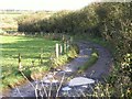
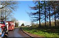
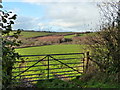
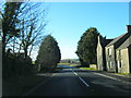
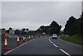
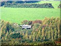
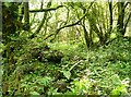
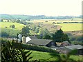
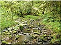
27 photos from this area
Area Information
Key information about the SA34 0PJ including its size, population, and administrative classification.
- Area Type
- Postcode
- Area Size
- 1.3 km²
- Population
- 1490
- Population Density
- 20 people/km²
House Prices in SA34 0PJ
9
Properties
£199,000
Average Sold Price
£100,000
Lowest Price
£298,000
Highest Price
Showing 9 properties
| Address | Type | Beds | Baths | Last Sale Price | Last Sale Date | |
|---|---|---|---|---|---|---|
| Upper Castle Ely, Red Roses To Llanteg, Red Roses, Whitland, SA34 0PJ | Detached | 4 | 1 | £298,000 | Aug 2017 | |
| Rosydd Vale, Red Roses To Llanteg, Red Roses, Whitland, SA34 0PJ | Detached | 3 | 1 | £100,000 | Mar 2016 | |
| Coldwell, Red Roses To Llanteg, Red Roses, Whitland, SA34 0PJ | house | 3 | - | - | - | |
| THE OLD MILL, U 6600 FROM, Red Roses, Whitland, SA34 0PJ | Unknown | - | - | - | - | |
| Melrose, Red Roses To Llanteg, Red Roses, Whitland, SA34 0PJ | Detached | - | - | - | - | |
| Brynely, U 6600 From, Red Roses, Whitland, SA34 0PJ | Detached | - | - | - | - | |
| Castle Ely Mill House, U 6600 From, Red Roses, Whitland, SA34 0PJ | Flat | - | - | - | - | |
| Brynhyfryd, Red Roses To Llanteg, Red Roses, Whitland, SA34 0PJ | house | - | - | - | - | |
| Castle Ely Mill, U 6600 From, Red Roses, Whitland, SA34 0PJ | Flat | - | - | - | - |
Energy Efficiency in SA34 0PJ
Amenities
Schools
| Rank | School | Type | Entry gender | Ages |
|---|
Explore more schools in this area
Go to Schools tabDemographics
Household Size
Two person
most common
Accommodation Type
Houses
most common
Tenure
71
majority
Ethnic Group
White
most common
Religion
N/A
most common
Household Composition
N/A
most common
Age
47
median
Adults (30-64 years)
most common
Household Deprivation
N/A
with no deprivation
NS-SEC
25
in Lower managerial occupations
Explore more demographic insights in this area
Go to Demographics tabPlanning
Planning Constraints
- Flood RiskPremium
- Ramsar Wetland SitesPremium
- Area of Outstanding Natural BeautyPremium
- Protected Nature ReservePremium
- Protected WoodlandPremium
- Crime RiskPremium